
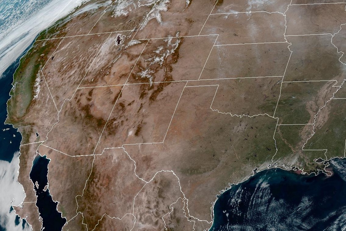
A strong ridge of high atmospheric pressure will persist across the western and central U.S. through the weekend, which will result in warm and dry weather for much of the nation. As a result, we can expect clear skies over Texas, as seen in this weather satellite photo taken just before 1 p.m. Friday.
Geostationary Operational Environmental Satellites/CIRA and NOAA
Get ready for an early taste of summer on Saturday, as Austin temperatures are expected to reach a record-breaking 94 degrees for the second time in a week. But Central Texas is also likely to experience 90-degree temperatures daily for the next seven days, which won’t do much to help our lingering regional drought.
Under sunny skies, and accompanied by warm southerly winds of 5 to 10 mph, Austin’s daytime temperatures on Saturday could soar to 94 degrees, similar to the 97-degree reading last Sunday (a record for March 15). But that unseasonable heat was quickly interrupted by a strong cold front that flipped Central Texas temperatures from summer swelter into winter chill literally overnight.
Article continues below this ad
This weekend, though, an entirely different weather feature will dictate Austin weather. Instead of a cold front, we’ll have a heat dome, according to the National Weather Service.
Austin temperatures will be solidly in the 90s by 4 p.m. Saturday, according to the National Blend of Models, a composite weather forecast model.
National Blend of Models/Pivotal Weather
What’s a heat dome?
A heat dome occurs in a system of high atmospheric pressure. The pressure causes air to sink toward the ground, where the compression of air causes temperatures to increase. A resulting “dome” of high pressure ends up trapping the water vapor in the warm air like a pot lid, and denying any chances for rain clouds to form in the upper atmosphere. Texas sees more of these in the summer, but a few occasionally can appear in spring and even winter.
Article continues below this ad
An unusually strong high pressure system in the middle to upper levels of the atmosphere has been crawling across the southwestern United States in the past day or so, forecasters said. The system also has been drawing plenty of warm air through persistent south winds.
“By Saturday, temperatures will threaten record levels with highs in the 90s and near 100 along the Rio Grande,” the National Weather Service said in a forecast bulletin posted online Friday. “The blended (forecast) model guidance looks to be a little cool, and we have adjusted highs up a couple of degrees Saturday.”
Article continues below this ad
Skies should be mostly clear Saturday night, but balmy south winds will continue to keep overnight temperatures above 62 degrees before dawn Sunday.
“The upper high will open to a ridge (of high pressure) Sunday, but not before another near-record day with highs about the same as Saturday,” the weather service said.
Austin will continue to be sunny on Sunday, but winds will kick up to 5 to 10 mph out of the south-southwest, including gusts as strong as 20 mph. Afternoon temperatures could reach 93 degrees, which would be about 20 degrees above normal and just short of the March 22 record of 96 degrees set in 1971. Meanwhile, overnight temperatures late Sunday into early Monday should bottom out around 60 degrees amid the gusty south winds.
Article continues below this ad
A weak cold front is expected to surge into Texas by Monday, sweeping through North Texas before stalling out over Central Texas.
“The result will be highs in the upper 80s and lower 90s Monday and Tuesday,” the weather service said. “Wednesday and Thursday, we will creep back up another few degrees.”
The Austin metro area, urban centers along the Interstate 35 corridor and parts of the Texas Hill Country and the Highland Lakes are in extreme drought, the second-highest level of dryness on the U.S. Drought Monitor scale.
U.S. Drought Monitor
Why is this weather bad news?
Forecasters at the weather service also warned that the strong upper ridge of high pressure will prevent any rainfall. This is not good, if you have been keeping tabs on Texas drought levels.
Article continues below this ad
In the latest batch of drought data released Thursday by the U.S. Drought Monitor, a wide swath of Texas from the Rio Grande to the Brazos River is in extreme drought, the second-worst level of dryness as measured by the U.S. Drought Monitor.
Extreme drought, according to the drought monitor, can be typified by:
An increased risk of large wildfires.
Very low soil moisture, and the occurrence of dust or sand storms.
A significant drop in reservoir levels or depletion of surface water sources, and very low river flow.
Article continues below this ad
Without rain in the forecast for the next seven days, the extreme drought that has gripped the Interstate 35 corridor, including the Austin metro area, parts of the Texas Hill Country and much of the region’s watersheds is likely to not only persist but also intensify.
Cumulative rainfall for the year at Camp Mabry, Austin’s main weather observation site, is only 3.3 inches as of Friday. That’s about 3 full inches below normal by this point in the calendar year. This rainfall deficit from normal also comes after seven consecutive months of below-average rainfall in Austin.