
Central Texas is about to trade in its summer-like heat for a more seasonable spring feel as the final cold front of March sweeps through on Friday.
While this front won’t bring much in the way of rain, it will deliver a noticeable drop in temperatures and offer a refreshing change after several days of near-record warmth.
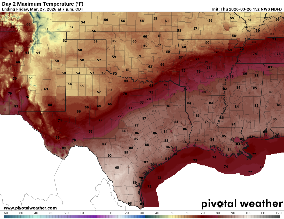
We’ll wake up Friday morning, warm, humid, and cloudy, with skies turning partly cloudy through the afternoon. Southerly winds will pick up, with gusts up to 25 mph, keeping the wildfire threat elevated in the moderate to high range. Despite the approaching front, temperatures will still climb into the mid to upper 80s.
The anticipated cold front is expected to arrive in the Hill Country by mid-afternoon, reach the Interstate 35 corridor around the early evening commute, and move through the rest of the region by late evening. Behind it, gusty north winds will take over, and temperatures will fall quickly, from the mid-80s ahead of the front to the 60s, or even 50s, by 9 p.m. It’s a shift worth keeping in mind if you have Friday night dinner or date plans.
Cooler temperatures will settle into Central Texas on Saturday, along with mostly cloudy skies and continued north winds, though lighter at 5 to 12 mph. Morning lows will fall into the mid- to upper 50s, which is right around typical March values. By the afternoon, a few breaks in the clouds are expected, with highs only reaching the mid to upper 70s, close to the normal late-March average of 77 degrees.
The milder temperatures won’t last long. By Sunday, the frontal boundary lifts back north, allowing southerly winds to return and temperatures to climb into the 80s and low 90s to wrap up the month.
El Niño and La Niña are climate patterns caused by changes in ocean temperatures in the Pacific Ocean that influence weather around the world. El Niño typically brings cooler, wetter weather into Texas, while La Niña often leads to warmer and drier weather.
Texas might feel like it has been stuck in a constant La Niña, or “dry phase,” for years, the reality is a bit more complex. We experienced a rare “triple-dip” La Niña from 2020 to 2023, followed by a brief break in 2024 before dry conditions returned in 2025.
With drought conditions in place since fall 2024—and only a short, four-month break from June through September—we are in need of meaningful rainfall across the Austin area.
Another bit of good news is that this next El Niño event is being dubbed a “Super El Niño.” While it’s not an official NOAA term, a super El Niño refers to an exceptionally strong event, with Pacific sea surface temperatures around 3 degrees above average. The last super El Niño occurred in 2015–2016, a period that brought notable flooding events to Central Texas, including the 2015 Memorial Day floods and the October 2015 flooding in Onion Creek.