
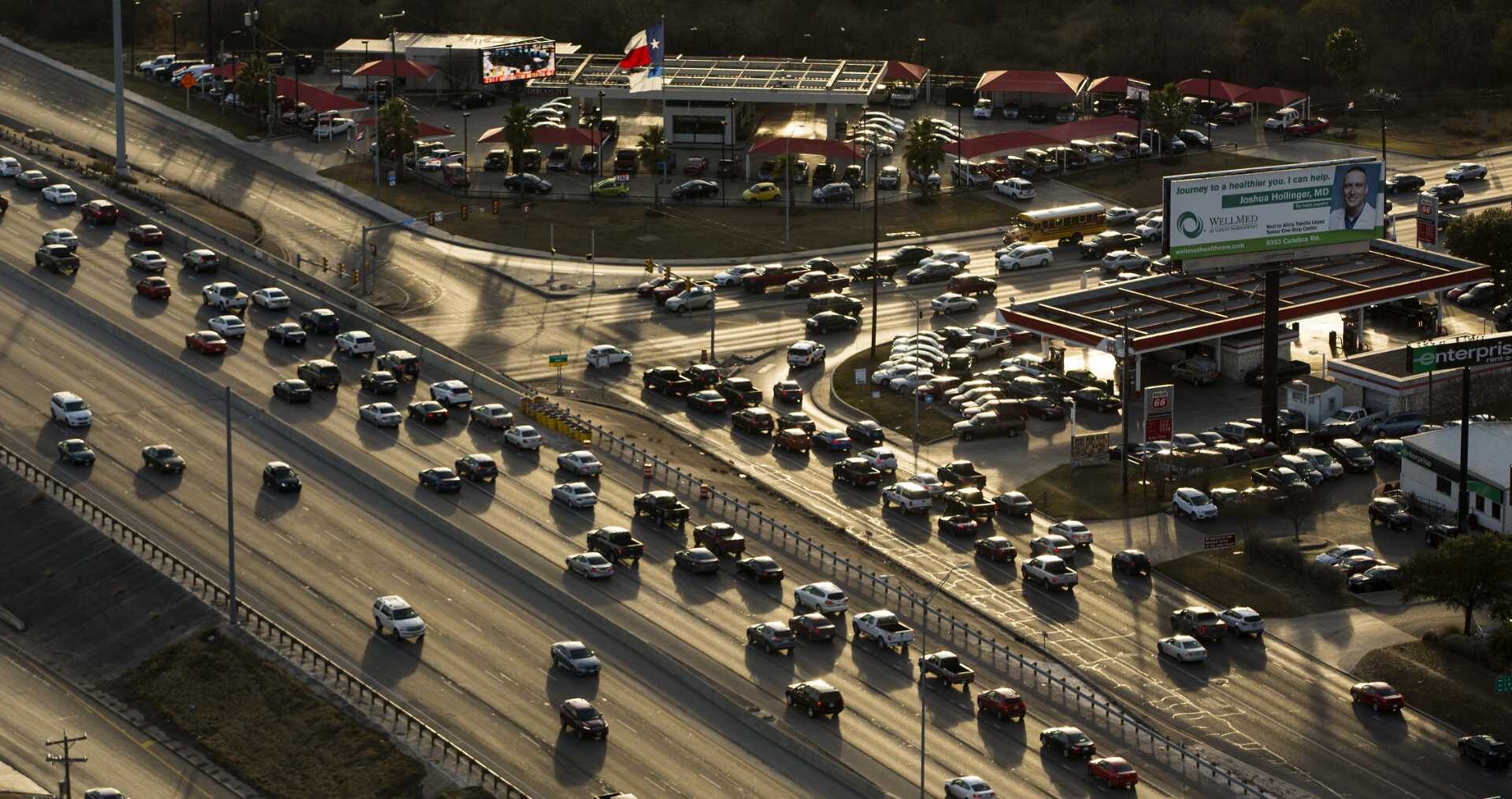
Loop 410 in the left side of the image crosses over Culebra Road which enters from the right side of the image in a later afternoon Feb. 1, 2018 aerial photo.
William Luther/San Antonio Express-News
Culebra Road is considered one of San Antonio’s deadliest roadways, and now, new federal funding could soon address safety improvements to a portion of the road.
In March, the San Antonio City Council approved $8 million in funding to explore safety and multimodal improvements to Culebra Road from General McMullen Drive to Loop 410. Planning, design and environmental work will coincide with safety and multimodal improvements.
Article continues below this ad
Efforts proposed under the funding from an agreement between the city and the Federal Highway Administration (FHWA) will cover about five miles of the roadway, according to city documents. Three million will be paid for through city match funding, bringing the total to $11 million.
City documents indicate the project’s design phase begins this summer and could end by the spring of 2032. The city has until later this fall to retain a design consultant. Requests for qualifications are underway, according to a spokesperson for the city’s newly formed Capital Delivery Department, which will take the lead for this project.
District 7 Councilwoman Marina Alderete-Gavito thanked city staff and transportation department officials during a meeting in March, where council approved the agreement.
Article continues below this ad
“Improvements on Culebra Road, especially inside (Loop) 410, with this (grant) will save lives,” she said. “We know that Culebra Road is one of the most dangerous roads for cyclists and pedestrians in our city, so this work cannot start soon enough.”
A woman crosses Culebra Road at the NW 24th Street intersection in 2018. Culebra is one of the busiest roads to try to cross as a pedestrian.
Jerry Lara /Staff photographer
High severity of pedestrian injuries on Culebra Road
Culebra Road traverses much of San Antonio’s West Side; in its entirety of more than 16 miles, the roadway runs through three City Council districts and extends from downtown’s periphery to just outside Alamo Ranch. It is also considered one of the city’s worst roadways for pedestrian crashes, according to a 2020 Vision Zero and Public Works Department report.
Article continues below this ad
“From 2017-2020, more fatal vehicle crashes have occurred on Culebra Road than on any other road in San Antonio, excluding freeways,” a Capital Delivery Department spokesperson told MySA.
In December 2025, the city’s transportation department launched an interactive High-Injury Dashboard, showing where across the city severe and fatal crashes happened. The dashboard utilizes Texas Department of Transportation crash data from 2018 to 2022. During the five years, Culebra Road sat at the top spot with 116 crashes reported.
Work to address injuries on Culebra Road goes back as far as 2016, when the corridor was among 12 examined during development of the San Antonio Tomorrow Multimodal Transportation Plan, city documents show. Subsequently, detailed corridor analyses were needed for at least three “priority corridors.”
“Culebra Road was the first corridor identified as a priority study due to higher severity pedestrian injuries compared to other roadways in the city,” the documents said.
Article continues below this ad
Work could include reconfigured traffic lanes
Under the newly approved FHWA funding, the Culebra Road Improvement Project is prodigious in its safety aspirations.
Alongside possible reconfigured traffic lanes and ADA infrastructure, one of the techniques the project will consider, the city said, is the Complete Streets technique. Complete Streets help roads in San Antonio be safe and account for all users.
“We want streets to be built for everyone, including those who walk, bike, use a wheelchair, use the bus, and drive,” the San Antonio Transportation Department website said.
Article continues below this ad
San Antonio first adopted its Complete Streets policy in 2011. In September 2024, the City Council approved an update to the policy, with the help of several community advocacy groups. Examples of Complete Streets in San Antonio would be Avenue B from Jones Avenue to McCullough Avenue and East Nueva Street as it runs through Hemisfair.
Conger, in an email to MySA, said the department is in the process of developing a Complete Streets Design Guide, which “will provide street design recommendations based on the street type.”
When completed later this year, estimated to be June 2026, city staff will have the guide to inform design elements for future streets “as they are developed or redeveloped,” Conger said.