
Sign up for TPR Today, Texas Public Radio’s newsletter that brings our top stories to your inbox each morning.
A cold front is expected to help trigger some showers this Easter weekend, so keep umbrellas handy for egg hunts and family campouts.
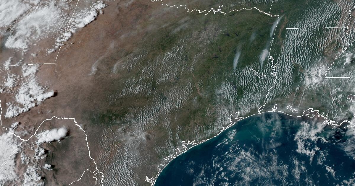
The National Weather Service reports the cold front is part of a more complex storm system that will give the San Antonio area its best widespread rain chance since the first weekend in March.
Most of the area should see some rain on Saturday, including some heavier thunderstorms during the afternoon hours. Nearly half the area will see rain on Sunday too.
Even before the weekend arrives, another active weather patten could produce some rain for around one-third of the area on Wednesday night and Thursday.
Weekend rain totals are a bit hard to predict this far out but should become a little more clear by Thursday. Gusty winds up to 25 or 30 miles per hour at times are likely most days this week but may subside this weekend.
Highs this week in the Alamo City will generally be in the mid 80s to lower 90s. Sunrise temperatures will be in the upper 60s.
The weekend forecast calls for a high around 80 on Saturday and a high of 68 on Sunday. Weekend sunrise temperatures will be in the lower 50s.
Drought-weary San Antonio would welcome a downpour with a warmer than usual spring ahead. Just under two inches of rain has been recorded at San Antonio International Airport since the start of the year, or about four inches below the year to date average.