
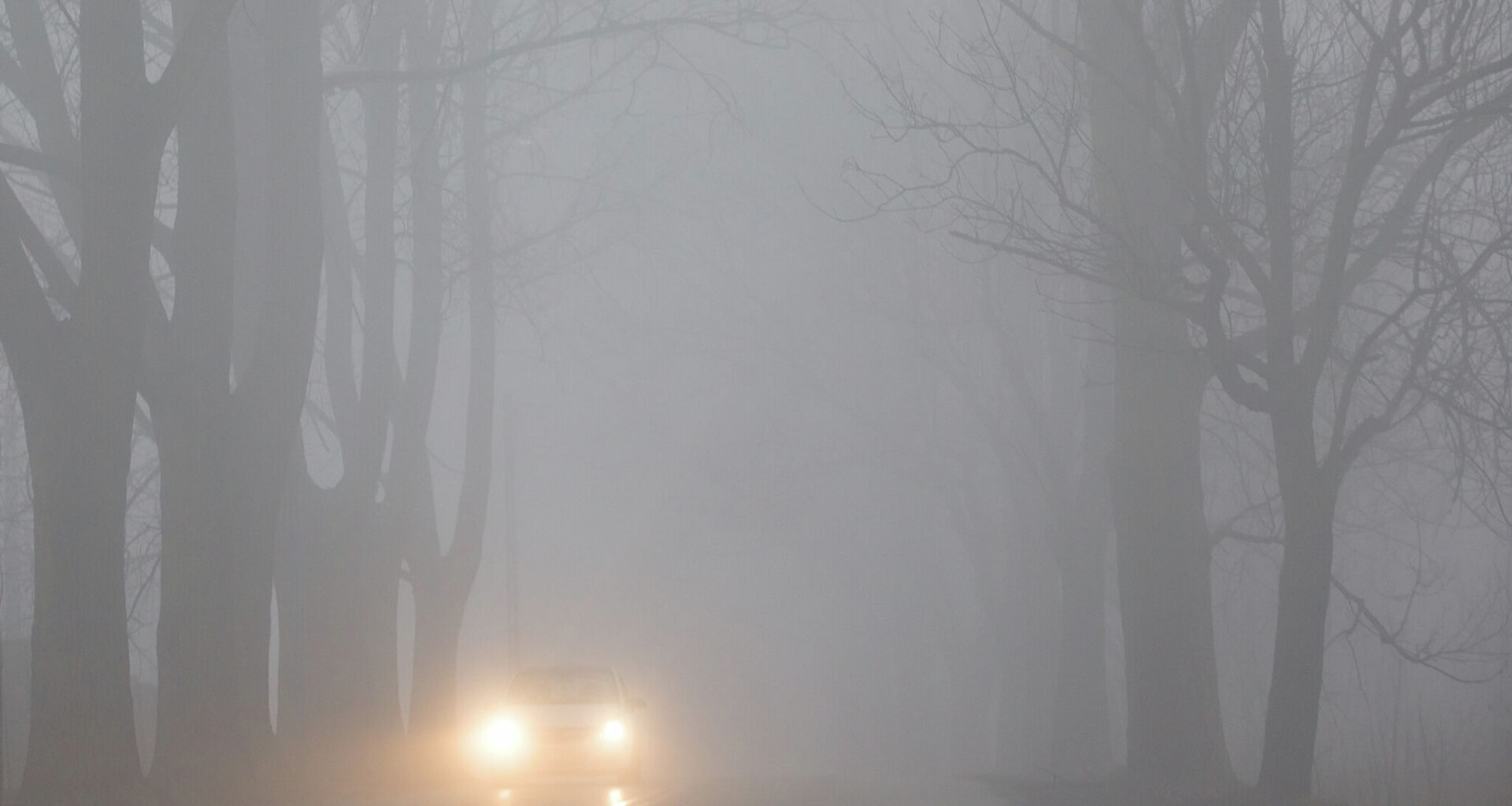
It may be spring already, but the arctic isn’t done with Texas just yet. Another strong cold front is slated to sweep across Texas this weekend, bringing fall-like temperatures to the entire state. You might even need a jacket in the afternoon… in April?
Texas weather is living up to its chaotic and unpredictable stereotype this week. A strong burst of cold air from the north is slated to cross the Texas-Oklahoma border by Saturday, April 3, and send temperatures plummeting across the state.
Typically, the Texas Panhandle, from Dalhart to Amarillo, sees the strongest impacts. While the region will see temperatures dip back into freeze territory overnight throughout the weekend, afternoon highs will look pretty similar across the Lone Star State.
For this northern tip of Texas, a series of cold fronts have kept the weather milder in the Panhandle. But things are about to change.
“Friday is a bit more interesting as a cold front races south… The cold front will not move through the entire area during the day on Friday as things stand right now, but should be south of the area by midnight or so on Saturday morning,” the National Weather Service warns.
Lows in the 30s and afternoon highs in the mid-60s to low-70s are expected all weekend in this region. That’s not terribly different from what North Texas residents can expect.
By Saturday afternoon, the greater Dallas-Fort Worth metroplex shouldn’t climb above the low-70s. The following afternoon isn’t expected to even hit 70 degrees. While it’s not exactly freezing, chilly evenings over the weekend in the low 50s could call for some layers.
On the downside, this burst of cold air also means stormy days on the horizon.
“A more active weather pattern will deliver multiple opportunities for showers and thunderstorms during the extended forecast period, the main chances being Wednesday night and Friday night/Saturday,” the NWS Dallas office predicts. “It does appear that temperatures will return near or below normal for a couple of days following this frontal passage.”
While South Central Texas often misses out on a lot of cold front action this late in the season, this arctic burst will actually reach the far-flung southern end of the state this time. Even San Antonio will see a significant cooldown after several afternoons in the 90s.
It’ll take a little longer to see the effects that far south. The high for Saturday in San Antonio is still 83 degrees. But by Sunday, temperatures will stay below 70 degrees all day. This sudden drop also spells thunderstorms for South Central Texas, however.
“We get our next taste of active weather with a cold front that pushes through most of TX and gets to us by Saturday evening,” the NWS San Antonio-Austin office warns. “This front looks much more promising regarding both convection and rain potential…”
These cooler days should even linger well into the start of the next work week.