
Gloomy days are ahead for San Antonio and South Central Texas. Forecasts warn of clouded skies, dousing the region in rain from San Antonio and up into the Texas Hill Country starting Wednesday, April 1. Be sure to have your umbrellas at the ready and maybe brace for a couple severe storms.
After a warm few days, a system sweeping Texas should reach the South Central Texas region by Wednesday night. Thunderstorm odds linger from Fredericksburg to San Antonio down to Poteet, hovering in the 20% to 50% range through Thursday night.
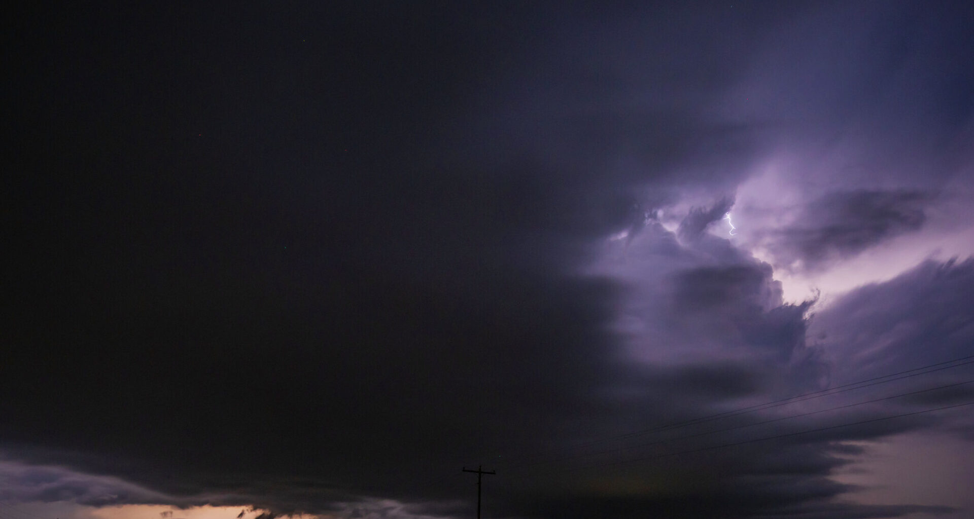
While it doesn’t appear to be the biggest weather even of the season, the National Weather Service San Antonio-Austin office warns some of these storms could become severe.
“Can’t rule out a few strong and perhaps one or two severe storms due to adequate instability and shear,” the weather forecaster said. “Fair weather is likely the rest of Thursday into Friday on brief mid/upper-level ridging.”
The NWS defines “severe thunderstorms” as any storm that could produce a tornado, with winds of at least 58 mph, or hail at least 1 inch in diameter. Any storm with winds hitting 40 mph or hail that hits .5 inch in diameter is deemed “reaching severe.”
The skies should begin to open up by Friday afternoon, when the high creeps it way back toward 90 degrees. But don’t expect a sunny weekend as a cold front pushes storms right back through.
“Showers and thunderstorms develop Friday night and continue through Saturday evening,” the local NWS office warns, nothing this front will leave behind a lingering trough that could see stormy weather hanging over San Antonio through Monday and Tuesday.