
Storms are brewing over Texas all week, but a gloomy weekend on the horizon will at least bring some cooler days to the Lone Star State. Umbrellas at the ready and layer up, Texas, it’s going to be a bumpy weekend as the eggs hit the backyard and the grills are fired up. A cold front is drastically changing the forecast.
The Texas Panhandle will see the impacts of this burst arctic air first. While this cold front is slated to push south across the entire state, some cities will actually see temperatures drop into freezing territory in a late season one-off.
In Dalhart, a whopping 42-degree temperature swing is expected in less than 12 hours between Friday afternoon and evening just as this northerner breaches the Texas-Oklahoma border.
“[This] cold front certainly looks to push through by Friday night and that will drop the overnight lows in the low 30s for the northwest to mid 40s in the southeast,” the National Weather Service Amarillo office warns, noting some models show an earlier arrival on Friday afternoon.
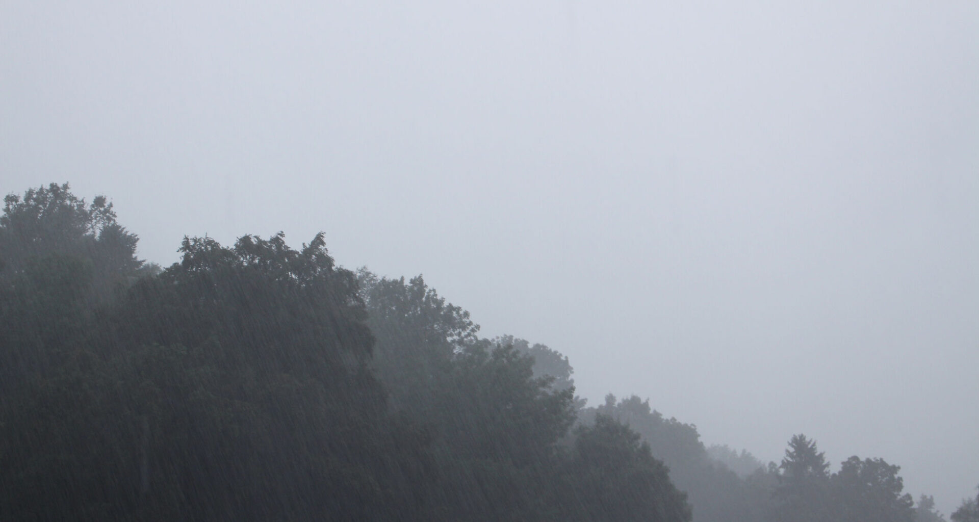
Rain isn’t currently in the cards for this region from Dalhart down to Amarillo, so a temperature plummet coupled with sunny days spells a pretty enjoyable weather forecast for the top end of the state. But as the front moves further into the Lone Star State, this burst of cold air meets warmer, wetter counterparts and ups thunderstorm chances.
In the Dallas-Fort Worth metroplex, a 25-degree temp drop overnight Friday is met with a huge spike in thunderstorm odds. Odds begin to skyrocket Friday night, climbing to 80%. By Saturday, heavy rain is all but guaranteed, with national forecasters projecting a 100% chance. This is when those severe storm threats come into play, including hail and strong winds.
“Late Friday night into Saturday, this system’s trailing cold front will be pulled southward into the forecast area. The boundary itself will be accompanied by the most widespread convective coverage, some of which will likely reach strong/severe level with hail and wind threats,” the NWS Dallas office predicts.
Near-record level rain accumulation could gather in the region at this time as well. Officials warn a whopping 1.8 inches may accumulate, bringing localized flooding risks.
“Localized flash flooding will be of concern between midnight and noon as the front slowly advances southward through the entire forecast area before exiting later in the day,” the NWS office says.
This burst of cold air will take a little longer to reach South Central Texas and San Antonio. But the Alamo City will see a 15-degree drop between Saturday afternoon and Sunday – when temperatures won’t rise above the mid-60s.
For the most part, it’ll be a much cooler week and start to the next workweek, but it comes with lots of doom and gloom. Rain chances and thunderstorms loom from Friday night through Monday, hitting anywhere between 20% and 90% a yo-yo pattern of higher and lower odds.