
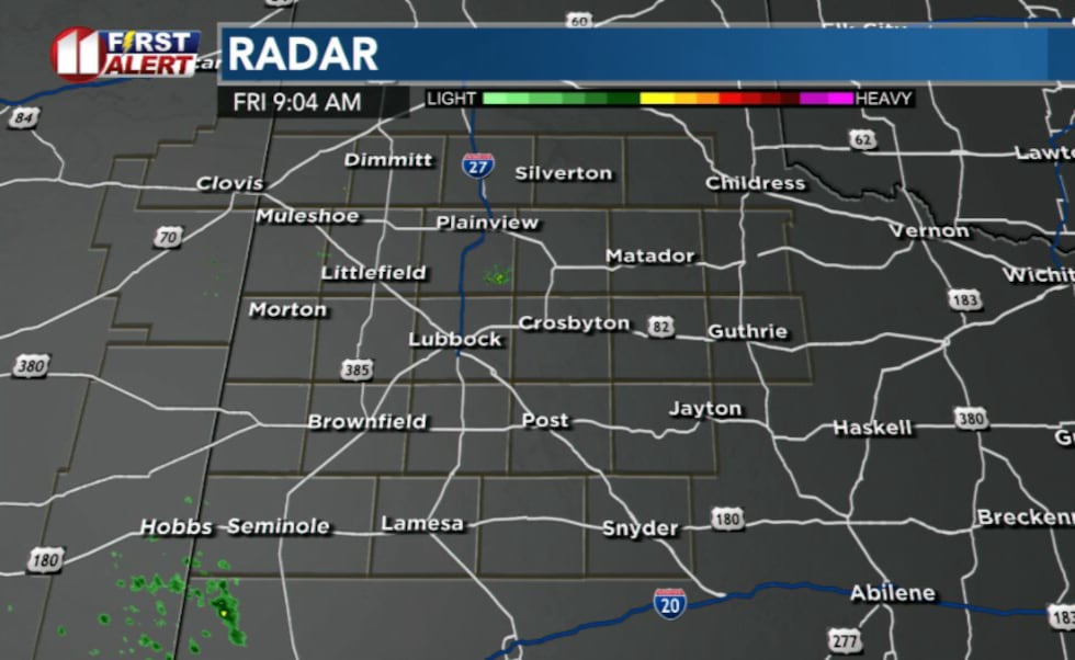
LUBBOCK, Texas (KCBD) -Scattered showers and storms will impact the area Friday morning and afternoon, with the threat of severe weather developing overnight, especially off the Caprock.
 KCBD(KCBD)
An upper-level low moving from Wyoming into South Dakota will bring moisture-rich air into the region Friday. Cloud coverage will increase throughout the day as a dryline develops from about Brownfield Highway to Silverton.
 KCBD(KCBD)
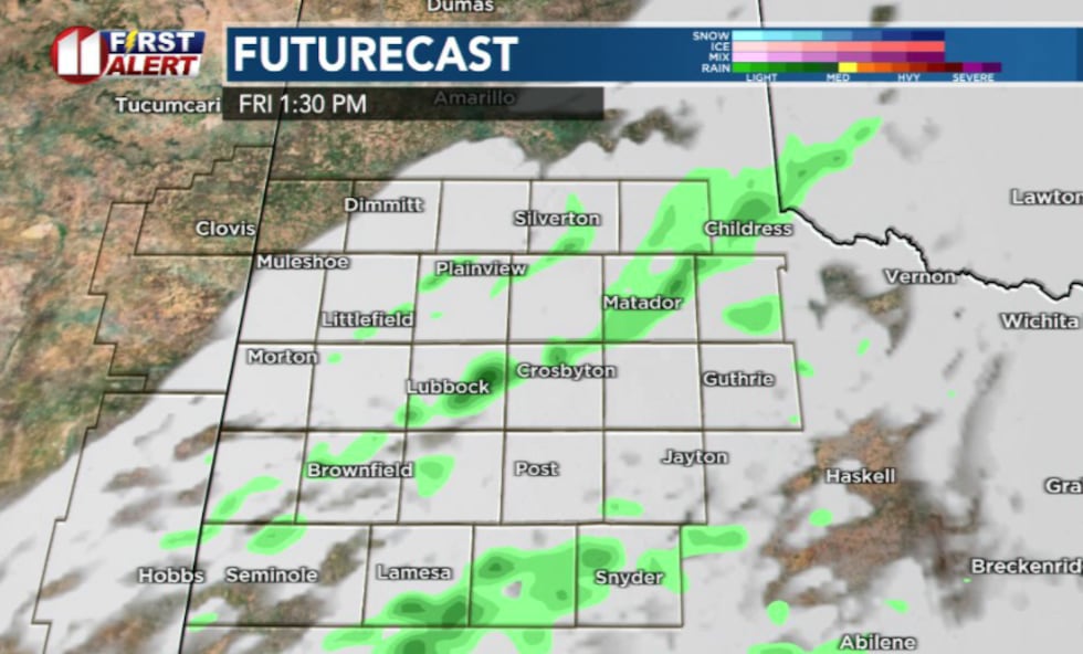
While morning and early afternoon showers and storms are possible, the main threat arrives Friday night when a cold front sweeps south and forces stronger storm development.
 KCBD(KCBD)
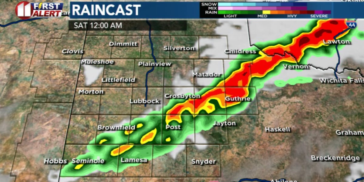
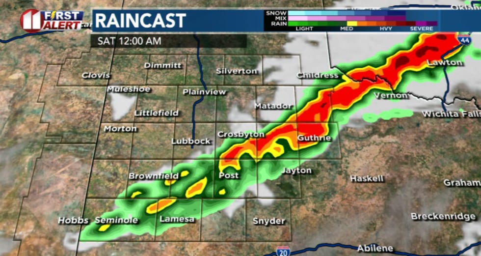
The most significant severe weather threat will come Friday night, likely around or after 10 p.m. Large hail, high winds, and heavy rain are all possible, particularly off the Caprock where localized flooding may be an issue. Storms could move quickly across the region, which may limit widespread flooding concerns.
 KCBD(KCBD)Fire Danger Before Storms Arrive
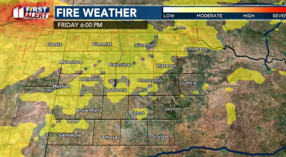
Before storms develop, an elevated fire danger is expected Friday afternoon across the northwestern/western portions of the viewing area. Gusty winds and low humidity will create conditions favorable for rapid fire spread if ignitions occur. A Rangeland Fire Danger statement has been issues from 12 p.m. to 8 p.m.
 KCBD(KCBD)Weekend Outlook
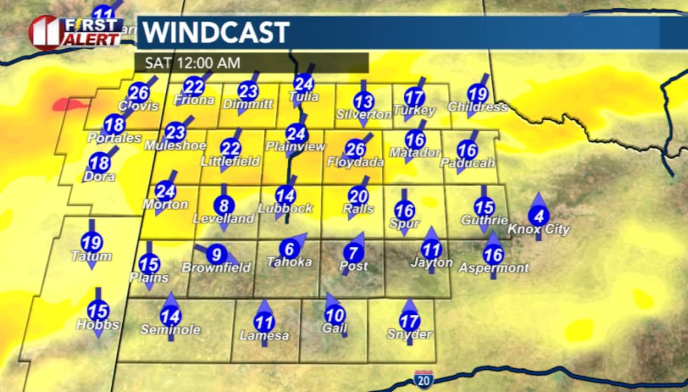
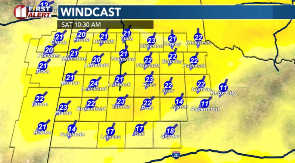
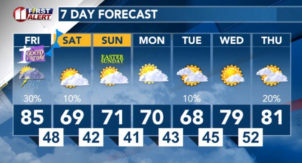
Saturday will be windy to start the day off after the cold front’s passage. Besides winds, weather conditions improve significantly heading into Saturday afternoon.
 KCBD(KCBD)
Expect your Easter weekend forecast to bring drier air in behind the cold front. The front will bring cooler temperatures and clearer skies Saturday and Sunday. Milder weather returns early next week as high pressure builds into the region.
 KCBD(KCBD)
Copyright 2026 KCBD. All rights reserved.