
Forecasters are watching conditions in the Pacific Ocean that could signal the return of El Niño later this year, with some models even raising the possibility of a rare “super El Niño.”
If that sounds confusing, here’s the simple version: El Niño is a climate pattern driven by warmer-than-average ocean temperatures in the Pacific, according to the National Oceanic and Atmospheric Administration (NOAA), which can shift weather patterns across the globe—including here in Texas.
According to the latest outlook from NOAA’s Climate Prediction Center, “El Niño is likely to emerge (62% chance) and persist through at least the end of 2026.” Right now, the Pacific is still transitioning out of La Niña, the opposite phase that typically brings warmer, drier conditions to Texas. But that shift may already be underway.
A growing pool of warmer water beneath the surface of the Pacific Ocean is one of the key signals forecasters watch, and in past years, that’s often been the first step toward El Niño developing.
More recent model guidance, including forecasts cited by the Houston Chronicle, suggests the pattern could strengthen by fall—and potentially become unusually intense. In other words, a “super El Niño.” This phenomenon is rare, but when it happens, it can have wide-ranging impacts.
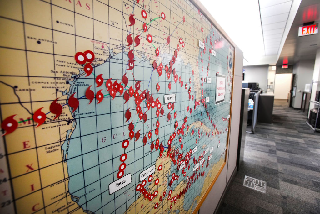
For Texas, one of the first places those effects could show up is hurricane season, which begins June 1. El Niño tends to increase upper-level winds across the Atlantic, which creates wind shear—a factor that can disrupt developing storms and make hurricanes less likely to form or strengthen.
That doesn’t mean no storms, but historically, strong El Niño years have brought fewer threats to the Gulf Coast. Winter is when the signal becomes more consistent. Strong El Niño years have typically brought wetter conditions across much of Texas, including Houston, sometimes increasing the risk of heavier rainfall and localized flooding. But summer is a different story.
“While that is possible, I would point out that the response from global surface temperatures typically lags the peak of El Niño by a couple of months, and right now I don’t expect it to peak until the end of this year,” he wrote. “So the summer of 2027? Yeah, probably brutally hot.”
For now, forecasters say it’s still too early to know exactly how this will play out. Spring is one of the most difficult times of year to predict El Niño, a challenge meteorologists like the Chronicle’s Justin Ballard previously called the “spring predictability barrier.”
That means it could take several more months before it becomes clear whether this developing pattern turns into a typical El Niño—or something much stronger.