
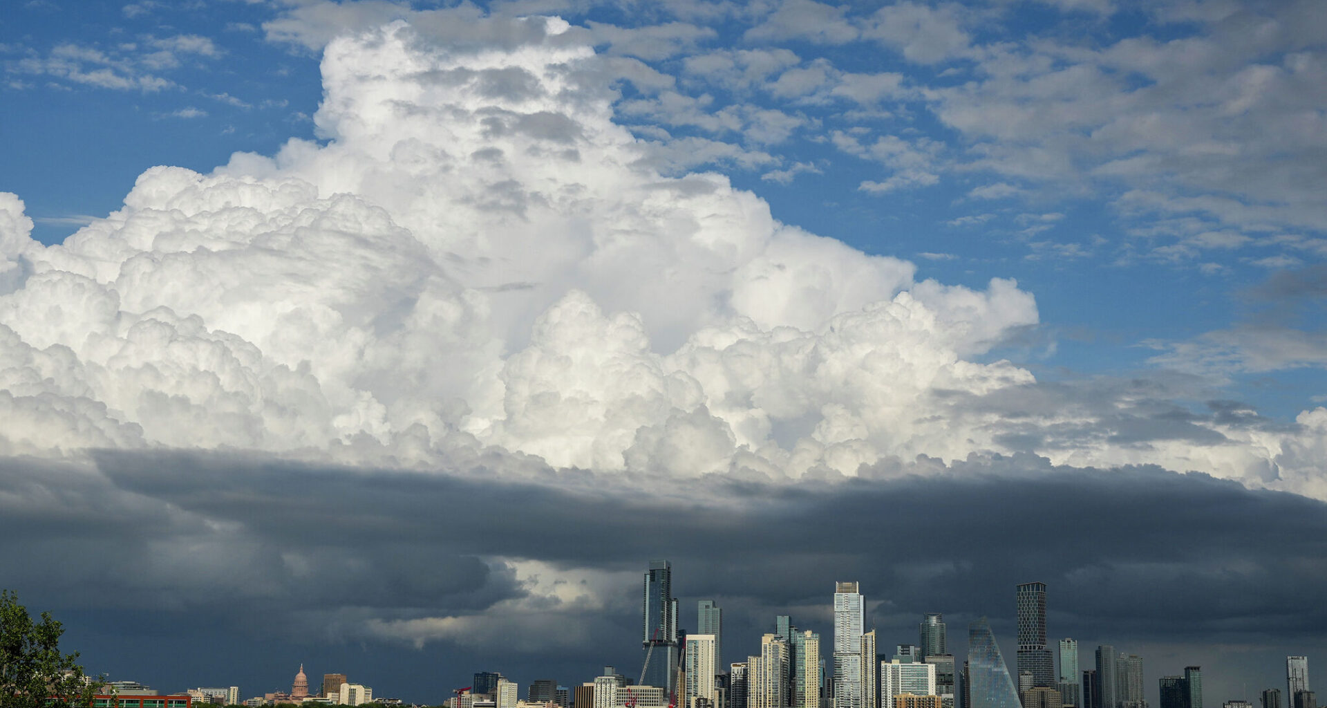
The weekend has been soggy and wet at times across Central Texas, and now we are transitioning into a more active, stormy pattern over the state for the next several days. A low-end severe weather threat remains in place for West Texas and is now extending into parts of the Hill Country and Central Texas.
“The severe and locally heavy rainfall risk increases in the southern Edwards Plateau for Sunday across most of South-Central Texas,” meteorologists at the National Weather Service office wrote in their severe weather report. “Daily storm chances and additional potential for excessive rainfall and severe weather may continue through at least the middle of next week.”
Another atmospheric disturbance embedded in the southwesterly flow aloft will move across Texas on Sunday afternoon and evening. This setup will bring stronger winds and increased wind shear, changes in wind speed and direction with height, creating a more unstable and storm-prone atmosphere over Central Texas. At the same time, a dry line in West Texas separating arid and humid air masses will edge closer to the Hill Country, acting as a trigger for storms that are expected to develop and move east into Central Texas by the evening.
“Large hail and damaging winds would likely be the greatest severe hazards. Storms could produce heavy rainfall as well with rainfall rates enough that may result in isolated flash flooding,” National Weather Service meteorologists wrote in their daily weather discussion for Austin.
This overall weather pattern is expected to persist for several days before the upper-level trough of low atmospheric pressure begins to shift northeast by midweek. Until then, a southwesterly flow will remain in place across South-Central Texas, keeping daily chances for rain and storms in the forecast.
Temperatures will trend slightly above average for April, with afternoon highs reaching the 80s for most areas. Overnight conditions will stay warm and humid, with morning lows in the 60s to low 70s.
The National Oceanic and Atmospheric Administration’s Climate Prediction Center has issued its final La Niña Advisory and is now transitioning to an El Niño watch. Neutral conditions, when neither La Niña nor El Niño have developed, are expected over the next month or two, but El Niño is likely to develop by summer, with about a 61% chance, and could persist and potentially strengthening, through the end of 2026.
This shift could bring more storm events like this with some much-needed relief from the persistent drought Central Texas has faced since 2021. If a stronger, “super El Niño” develops by fall — defined by sea-surface temperatures about 2 degrees above the long-term average — it could deliver more significant, drought-easing rainfall to Texas.
The last super El Niño, in 2015, brought Austin its second-wettest year on record with almost 60 inches of rain, along with several major rainfall events, including the Memorial Day flooding in Central Texas that year and Onion Creek floods in Austin around Halloween.