
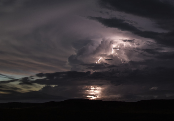
A powerful updraft ricochets off the stratosphere creating a large, expanding anvil cloud. Lightning shoots out of the updraft illuminating the horizon.
SAN ANTONIO (KTSA News) — The National Weather Service is urging you to stay aware of the weather Tuesday afternoon and evening.
While the chances for severe weather are not as likely for San Antonio, much of the Hill Country is at a greater risk for thunderstorms that could continue into Wednesday.
What to know:
Isolated thunderstorms in the late afternoon to evening over the southern Edwards Plateau and Rio Grande, with lesser chances in the Hill Country.
Up to a Level 2 of 5 risk for severe weather mainly for the southern Edwards Plateau and Rio Grande (Val Verde County) late afternoon into the evening.
The main severe risks are large hail and damaging wind gusts, and a tornado is also possible.
A Level 1 of 4 risk for excessive rainfall for portions of the southern Edwards Plateau, Rio Grande, and Hill Country.
Wednesday: Isolated thunderstorms in the afternoon to evening over the southern Edwards Plateau, Rio Grande, and Hill Country.
A Level 1 of 5 risk for severe weather in these areas.
Rain and storm chances are expected to decrease Thursday.
Stay tuned to 550 KTSA and FM 107.1 for the latest weather conditions.
More about: