
As you put the finishing touches on your tax filing — hopefully with minimal stress — the weather across Texas is shaping up to be far less calm on Wednesday.
The National Weather Service’s Storm Prediction Center has outlined parts of north and west Texas with a level 1 to 2 out of 5 risk for isolated to scattered severe storms Wednesday afternoon. Isolated supercell thunderstorms will develop along the dry line separating arid and humid air masses across Texas, Oklahoma, and Kansas. This region will have ample moisture in place, creating an unstable atmosphere, while wind shear, which is the change in wind direction and speed with altitude, will support the potential for large to very large hail and even a few tornadoes.
As the strongest part of the storm system moves north of the region and the primary severe weather threat stays outside Central Texas, that doesn’t mean we won’t see a few isolated storms that could still pack a punch, especially with the potential for brief, heavy downpours.
The weather service’s Weather Prediction Center has highlighted areas just north of Austin with a level 1 out of 4 risk, or at least a 5% chance, of excessive rainfall on Wednesday afternoon.
“The high resolution models have not been very consistent with the placement of this activity, but the (low air pressure) trough placement would tend to favor the Edwards Plateau and Hill Country during the afternoon to evening hours, with activity possibly extending into the Austin area and less of a potential south of the Balcones Escarpment,” meteorologists at the National Weather Service explained in their forecast. “A marginal severe and excessive rain risk accompanies these storms.”
The day will be warm and muggy, with peak daytime temperatures seasonable for mid-April in the lower to mid-80s under mostly cloudy skies. Southerly winds will be a bit breezy at times outside of storms, with occasional gusts topping 20 mph.
After Wednesday’s storm system passes, an upper-atmospheric ridge of high pressure will nudge north from the Gulf of Mexico and settle across South Texas, bringing calmer weather on Thursday and Friday.
During this time, we’ll see the warmest days of the week, with afternoon temps climbing to around 90 degrees along with a bit more sunshine. Southerly winds will become breezy on Friday, with gusts reaching up to 30 mph.
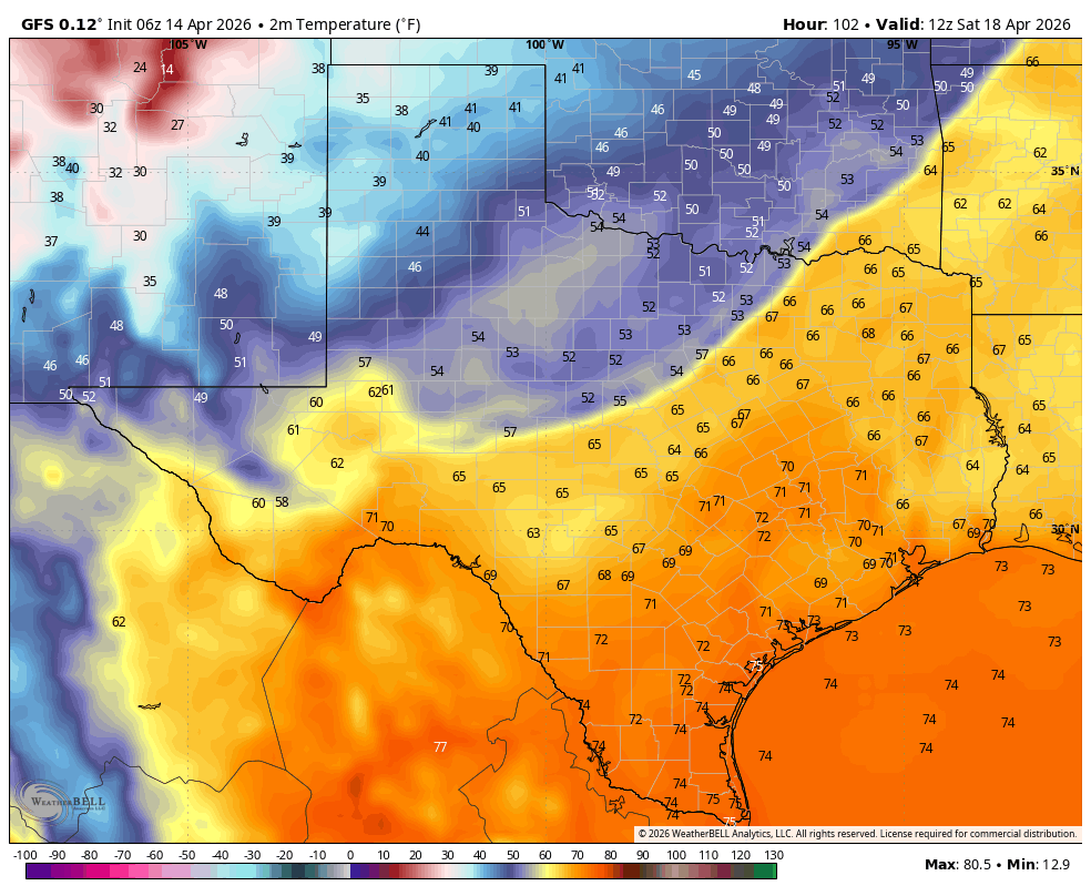
The dry weather will be short-lived as our next weather maker enters the picture. A storm system will move out of the Central Rockies and into the Great Plains on Saturday, sending a strong cold front through the Lone Star State and ushering in much cooler air behind it.
There will be thunderstorms along the front as it interacts with the warm, humid Gulf air across Central Texas, with the chance for showers lingering on and off through the weekend.
The big story will be the noticeable cool-down behind the front, with mornings in the 50s and afternoons in the 60s and 70s, which is below average for April.