
A cold front is moving through North Texas early Saturday, bringing cooler temperatures. But, how long will this last?
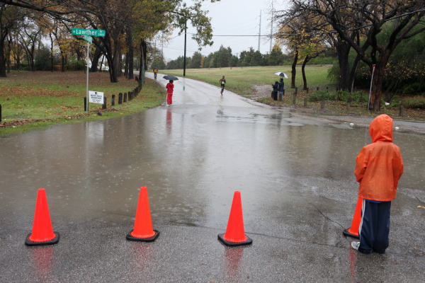
Saturday is starting mostly cloudy with a steady chance of showers and thunderstorms throughout the day, according to the National Weather Service’s Fort Worth office. Day temperatures are forecast to top out at 65 degrees before plunging to 46 degrees at night.
The skies are expected to gradually clear up as the night progresses, with a slight chance of showers before 7 p.m.
Sunday might bring some sunshine to the region with temperatures remaining pleasantly moderate in the 70s.
The heat is forecast to return sometime in the middle of next week, bringing 80-degree days back to Dallas-Fort Worth.
SATURDAY: Much cooler with a 60% chance of showers and a few thunderstorms, mainly before noon. Breezy. High: 64. Wind: N 15-25 mph.
SUNDAY: Partly cloudy and chilly in the morning, then sunny and pleasant. Low: 47. High: 73. Wind: E 10-15 mph.
MONDAY: Mostly cloudy and pleasant. Low: 52. High: 70. Wind: SE 10 mph.
TUESDAY: Mostly cloudy and pleasant. Low: 57. High: 72. Wind: S 10-20 mph.
WEDNESDAY: Partly to mostly cloudy. Low: 61. High: 82. Wind: S 10-20 mph.