
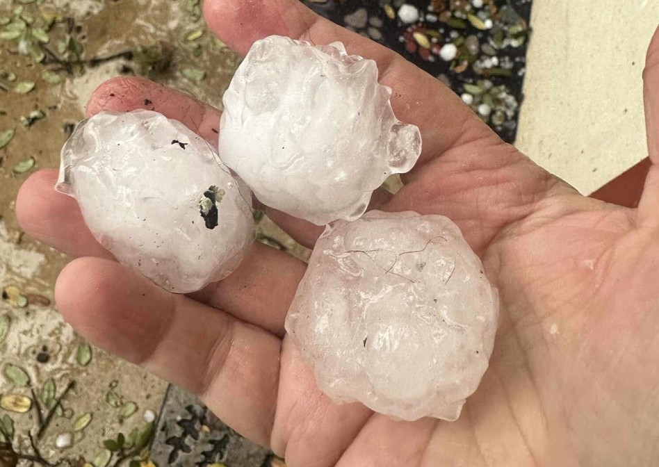
The storms that have ravaged Texas this week aren’t yet over. In fact, Texas Panhandle towns could be slammed with large hail and strong winds as forecasters worn of a high-level supercell developing – a convective storm type capable of damaging weather.
The National Weather Service Amarillo office says a dryline should develop Wednesday afternoon, April 22, creating strong odds for additional storms from Amarillo to Guymon. This latest storm brings a threat of large hail and wind gusts up to 65 mph. For context, that’s considered storm-force winds that can cause widespread damage and uproot larger trees, according to an NWS wind speed chart.
“Dry air in the mid-levels would support a larger hail threat in addition to the sheared environment. But due to the limited CAPE the hail threat will range from a penny to a half dollar (0.75″ – 1.25″),” the National Weather Service Amarillo office warns, noting “at least a high based supercell” could develop over the region.
The National Weather Service defines a supercell as a convective storm type that is potentially the most dangerous with the structure to develop long lasting, strong and violent tornados, as well as damaging downward bursts of air and large hail.
“It is defined as a thunderstorm consisting of one quasi-steady to rotating updraft which may exist for several hours,” the national forecaster says.
The NWS office over the Texas Panhandle issued a hazardous weather outlook Wednesday morning. While they primarily listed critical fire weather conditions as a concern, the agency noted any storms that develop can be severe with large hail and damaging winds.
The region had largely missed out on a week of stormy weather across Texas as a cold front swept through, but it looks like the tail end of a largely gloomy week has caught up with the region.