
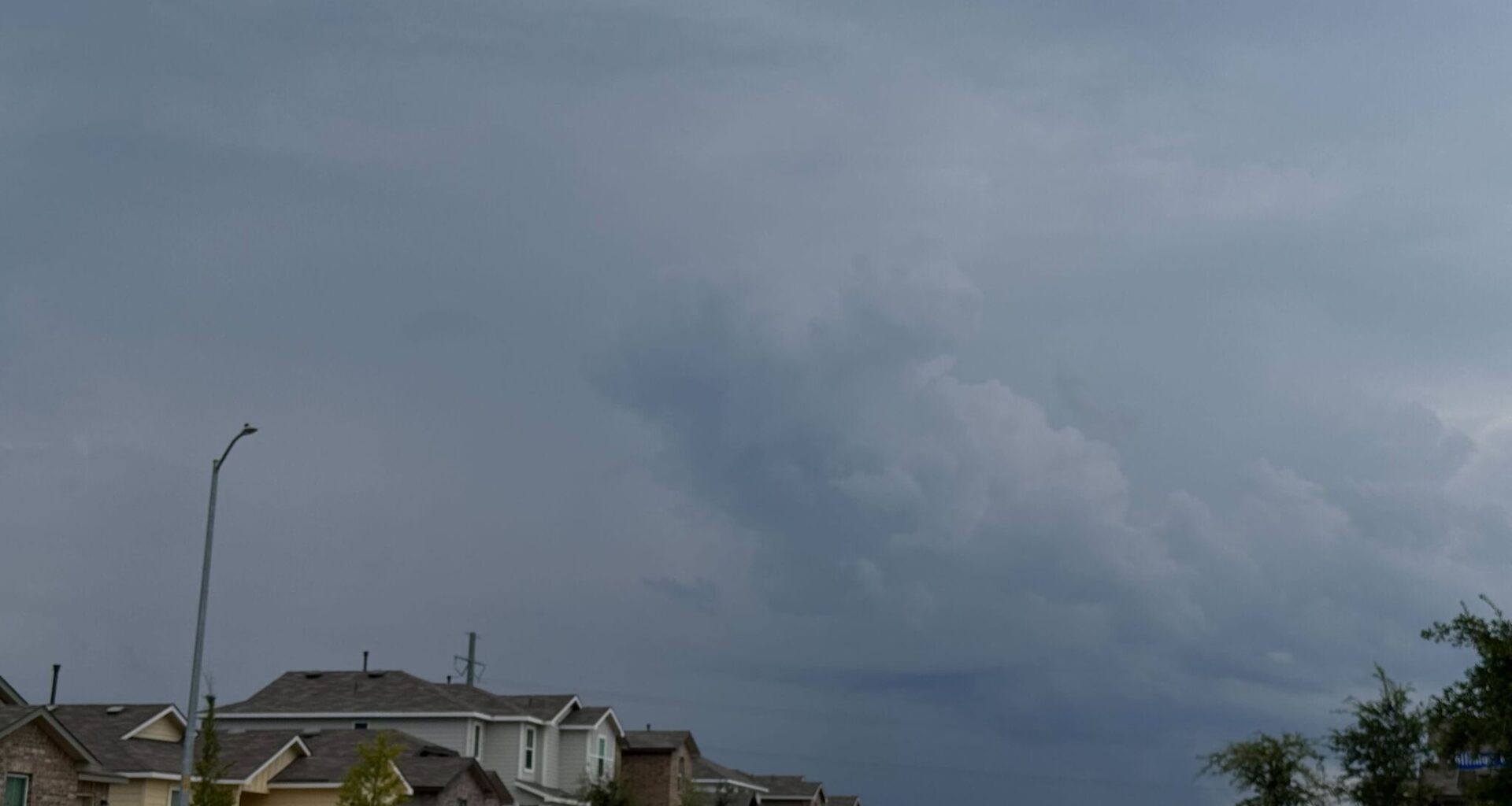
Another round of stormy weather is headed for Texas this week as a weaker cold front crosses the Texas-Oklahoma border Thursday night. It won’t exactly be freezing in the Lone Star State, but it’ll help stave off those dreaded 90-degree and humid days a bit longer.
In typical fashion, as colder air moves from the north, the Texas Panhandle will be the first to see the impacts of this slowing mass of cooler air. This region will also see the greatest impacts, dipping down into the upper 30s in some areas further north and into the mid-40s in Amarillo overnight Thursday, April 23, and Friday.
“While it’s not a very strong front, we do see a cold front wind shift out of the north on Thursday evening,” the National Weather Service Amarillo office says. “The main upper trough of cooler air will linger in the northern [Continental U.S.] while a more zonal flow sets up over the southern area.”
Overall, this northern burst should keep afternoon highs in the upper-70s to low-80s on Thursday and Friday, just as a warmup begins. But it’ll be short-lived as the front moves out by the weekend and temps begin to climb back toward 90 yet again.
North Texas isn’t expected to see much impact from this weaker cold front, continuing to see rising temperatures through the rest of the week and into the weekend. In fact, the week of gloomy weather should come to a short end as skies open up just ahead of the weekend and afternoon highs climb into the upper-80s.
However, this break from cloudy skies won’t last long. Severe storm threats emerge again on Friday and linger throughout the weekend.
“Strong instability and sufficient deep layer shear will lead to a severe threat that looks to maximize long/east of I-35 and along/north of I-20 where capping is expected to be weaker. This severe weather threat will materialize again late Saturday as the dryline sets up west of I-35,” the National Weather Service Dallas-Fort Worth office warns.
A mid-level atmospheric wind flow from the northwest should reach South Central Texas, namely the Austin-San Antonio greater region, by Thursday. This movement of cooler air won’t have drastic impacts on the region, but it will keep rising afternoon highs at bay for a short while.
The metro area should hover in the mid-80s for afternoons on Thursday and Friday and dip into the low-70s at the coolest. Prepare for warmer days, however, as the weekend heat is slated to surpass the 90-degree mark.