
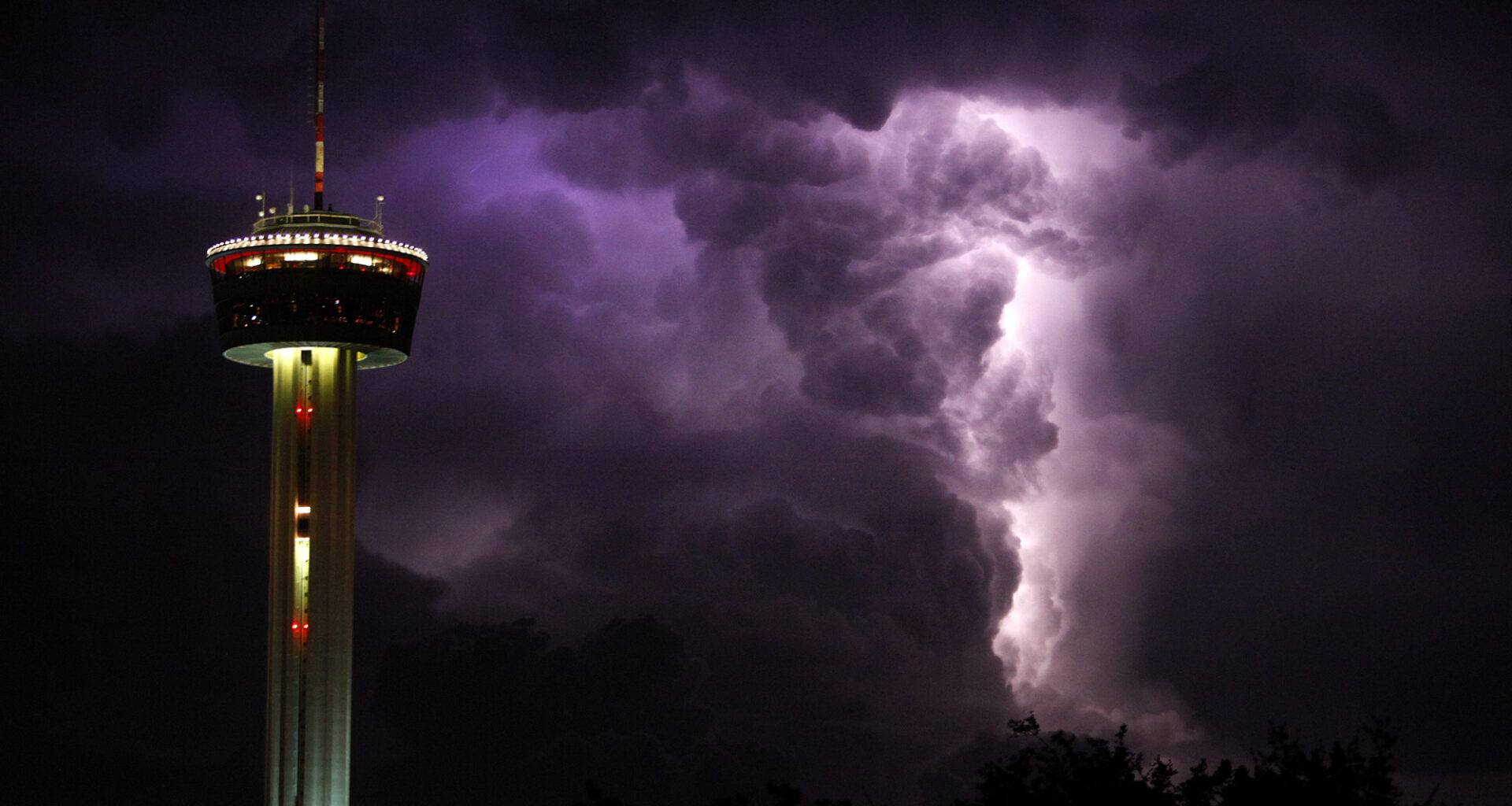
Thunderstorms like this one from April 2024 are fairly common in Texas in the spring. Although overall rain chances this weekend will be relatively low in San Antonio, a few thunderstorms by Saturday evening could become strong to severe.
LISA KRANTZ/San Antonio Express-News
Fiesta is heating up, literally and figuratively. Heat index values, or humidity-driven “feels like” temperatures, are expected to reach the upper 90s this weekend as San Antonio prepares for Fiesta Flambeau, the most-attended parade of the 11-day festival.
If you’re heading into downtown San Antonio Saturday night, the good news is that storm chances will be low, keeping much of the region dry. However, if storms do develop, they could be quite strong, capable of producing heavy downpours, large hail and damaging winds. Here’s what we know.
Article continues below this ad
Saturday’s forecast
Before any potential storms enter the picture, Saturday will be highlighted by very warm and humid weather. San Antonio will start the morning in the lower 70s under cloudy skies, with temperatures likely reaching 80 degrees between 11 a.m. and noon.
More sunshine is expected by the afternoon, allowing temps to rise to around 90 degrees by the mid- to late afternoon. Humidity levels will be extremely high, which will send heat index values into the upper 90s. If you have outdoor plans — such as going to the King William Fair — be sure to stay properly hydrated.
Shown are the potential heat index values, or humidity-driven “feels like” temperatures, across the state at 5 p.m. Saturday.
Pivotal Weather
Because of high levels of atmospheric moisture, temperatures will be slow to fall during the evening. Expect temperatures to remain in the mid-80s by the time the Fiesta Flambeau parade gets going at 7:45 p.m. Heat index values will likely still be in the low 90s.
Article continues below this ad
Thunderstorm chances
Although plenty of moisture will be in place just before the parade gets underway, it’s highly questionable whether storms will even be able to form. Currently, an atmospheric “cap” is in place across South Texas. The cap is a layer of warm air in the low levels of the atmosphere that inhibits thunderstorm formation.
If temperatures near the ground are able to heat up enough, the cap could break, and thunderstorms would then be able to develop and intensify very quickly. If the cap holds, then storms could fail to develop altogether.
Article continues below this ad
Overall rain chances for the parade route is only about 20%. But even though the overall risk is low, if a storm does hit the region, it could be very strong.
Storm chances Saturday evening will be low in San Antonio (20%), but any storm that develops could be strong to severe.
Pivotal Weather
The National Weather Service’s Storm Prediction Center has placed parts of the region under only a level 1 of 5 risk of severe storms. The low-end risk is indicative of how isolated the storms are expected to be, but any storms that do develop could produce large hail and damaging wind gusts.
The first storms could develop by 5 to 7 p.m., mainly west of San Antonio, from the Hill Country to the Rio Grande. These storms would then track eastward, potentially affecting the San Antonio metro area during the parade, between 7 and 10 p.m.
Article continues below this ad
If you’re along the parade route and a strong thunderstorm does approach, have a plan to take shelter in the surrounding buildings across downtown. Stay up to date at expressnews.com/weather for updates.
More heat and humidity coming
Temperatures will continue to trend upward over the next few days. On Sunday, San Antonio will likely top out in the lower 90s once again. Monday and Tuesday are expected to be the warmest days of the forecast, with highs reaching 93 to 95 degrees.
Article continues below this ad
Humidity will continue to be very high, allowing heat index values to reach up to 100 degrees at times. Scattered thunderstorm chances will also stay in the forecast, especially on Tuesday, when rain chances in San Antonio rise to around 30%.
Cooler temperatures are possible by the end of the week. A weak cold front could slide through the region by late Wednesday or early Thursday, and a stronger front could arrive by the weekend. Scattered showers and storms will be possible with each front.