
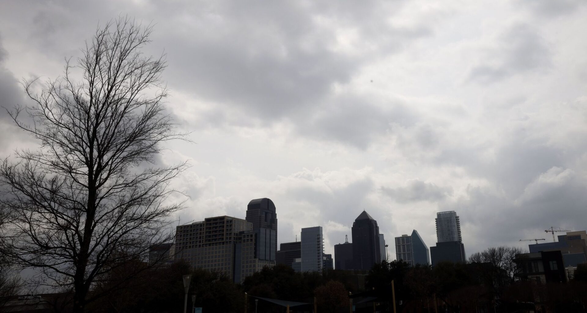
The day will stay mostly cloudy with a temperatures topping out at 88 degrees, according to the National Weather Service’s Fort Worth office. The day is expected to be somewhat windy with gusts as high as 25 mph.
There’s still a 10% chance for a isolated severe storm north of Interstate 20 late Sunday afternoon and evening, according to the weather service.
Overnight temperatures are expected to bottom out near 73 degrees as isolated thunderstorms show up around 10 p.m. Sunday and last until early Monday morning.
There is no rain in the forecast Monday during the day and night, but starting Tuesday, a steady chance of showers and thunderstorms will linger through the week.
On Saturday, several counties in North Texas, including Dallas, Collin, Tarrant, Parker and Grayson, were placed under a tornado watch. The weather service forecasts severe storms to move toward the east Sunday. As of 8 a.m., about 14,380 Oncor customers are still affected by outages across Dallas, Fort Worth and Wise counties.
SUNDAY: Partly sunny, breezy and very warm (Record: 90 from 1955). High: 90. Wind: S 10-20 mph.
MONDAY: Mostly sunny and very warm (Record: 92 from 1987). Low: 70. High: 92. Wind: SW 10-15 mph.
TUESDAY: Partly cloudy and warm with a 20% chance of showers and thunderstorms. Low: 69. High: 86. Wind: SE 10-15 mph.
WEDNESDAY: Variably cloudy and warm with a 20% chance of showers and thunderstorms. Low: 65. High: 81. Wind: SE 10-20 mph.
THURSDAY: Occasional rain showers. Otherwise, cloudy and cooler. Low: 62. High: 77. Wind: N 10-20 mph.
FRIDAY: Periods of rain, cooler. Low: 56. High: 71. Wind: N 10-20 mph.