
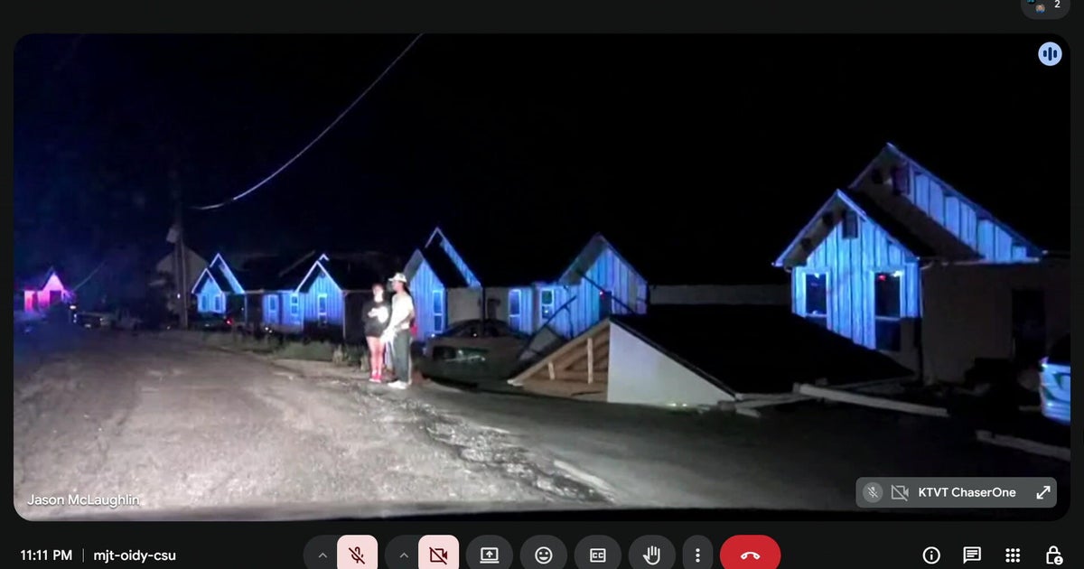
Saturday night, destructive storms pushed across North Texas producing tornadoes, giant hail, damaging winds, and devastating flooding. Sadly, this storm was deadly. The National Weather Service office in Fort Worth confirmed early Sunday afternoon an EF-2 tornado was confirmed in the Runaway Bay area, with peak winds of 135 mph.
The supercell originated in Wichita County around 4 p.m., where the storm quickly broke the capping inversion, allowing the updraft to explode. The supercell slowly moved to the southeast throughout the evening into the overnight, lasting nearly 12 hours before dissipating around 3:30 a.m. in Kaufman County.
🚨 🌪️One of our two NWS storm survey teams has confirmed at least one tornado from yesterday’s severe storms. An EF-2 tornado has been confirmed in the Runaway Bay area (Wise Co) with peak winds of 135 mph. Other tracks and damage locations are still being assessed. #dfwwx #txwx
— NWS Fort Worth (@NWSFortWorth) April 26, 2026

Supercell spotted near Aledo and Azle in Texas, taken April 25, 2026.
Steven Nichols

This storm caused mass destruction with several confirmed radar indicated tornadoes reported on its path. One of the hardest hit locations was Runaway Bay where the tornado struck the area around 8:30 p.m. Saturday night. Destruction to property was significant and neighborhoods were torn apart, leaving many displaced and without power.

The National Weather Service is still surveying the damage done and will have a report in the upcoming days.

Hail also caused significant damage. The size ranged from pea to baseball size. Some of the largest hail reports include cities in Tarrant and Parker Counties. The hail stone pictured was taken by Craig Gibson, a director at CBS News Texas.

The winds were also a key factor. The maximum wind gust got to 89 mph in Springtown, this is the strength of a category 1 hurricane.

All modes of severe weather happened last night. This is a key reminder of how important it is to stay tuned to the forecast during First Alert Weather Days. Stay tuned!
