
All that gloomy weather and rain has paid off for Central Texas tubing and lake days approaching this summer. Several Austin-area waterways are nearly full, and one town recently at risk for running out of water has reached its lake level goal sooner than expected.
Despite the higher lake levels, the city confirmed that Stage 3 water restrictions will remain in effect to continue conservation efforts. In early March, engineers estimated that Pflugerville could run out of water by mid-April, which prompted city officials to take emergency action to repair the pipeline and strengthen the city’s water supply, which mainly comes from Lake Pflugerville.
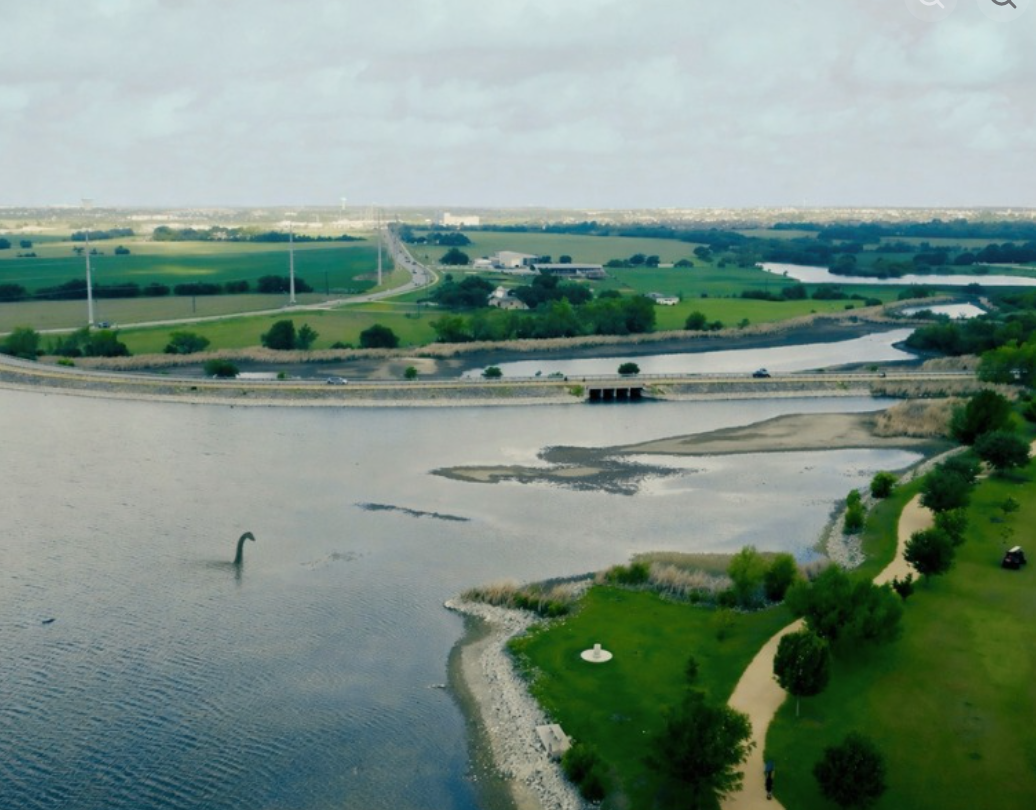
The lake’s higher levels now mean that fishing from the shore and most of the piers is allowed again. Swimming and recreational boating are still on hold until the lake’s elevation reaches 634 feet, which is the depth needed for safe operation of the boat ramp and safer swimming conditions along the beach.
Pflugerville’s City Council is expected to share an update on water restrictions and conservation at their next meeting on Tuesday, April 28.
Lake Austin is 96.7% full of water, and its mean water level is 492.30 feet as of Monday, April 27, according to the Water Data for Texas website. The lake’s capacity is 23,972 acre-feet, and its current conservation storage is 23,189 acre-feet. It’s also now 0.1% more full than it was at this time last year (96.8%).
Per the same website, Lake Travis is currently 73.1% full of water. This is a significant (more than 30%) change from April 27, 2025, when the lake was less than 42% full. Today, the lake has a mean water level of 663.62 feet with a capacity of 1,098,044 acre-feet. Its current conservation storage sits at 802,684 acre-feet, according to its water data.
Lake Georgetown is currently 89.8% full and has a water level of 787.94 feet as of Monday, April 27. On that same date in April 2025, the lake was only 67% full. The lake now has a capacity of 38,005 acre-feet, and its current conservation storage is 34,135 acre-feet, per its water data chart.
For Taylor residents, Granger Lake is 100% full, and its mean lake levels are 506.93 feet at the Granger Wildlife Management Area, according to water data. Its lake levels have remained fairly the same since last year, and its current capacity rate is 51,822 acre-feet. The lake’s current conservation storage is 51,822 acre-feet.
Lake Marble Falls is 97% full and has a mean water level of 736.62 feet, per its water chart. This is an additional 3% change since last year, with its capacity sitting at 7,597 acre-feet and its current conservation storage being 7,366 acre-feet.