
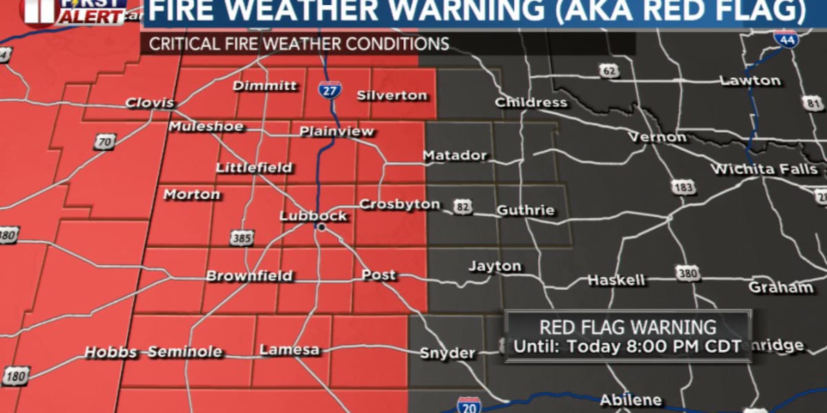
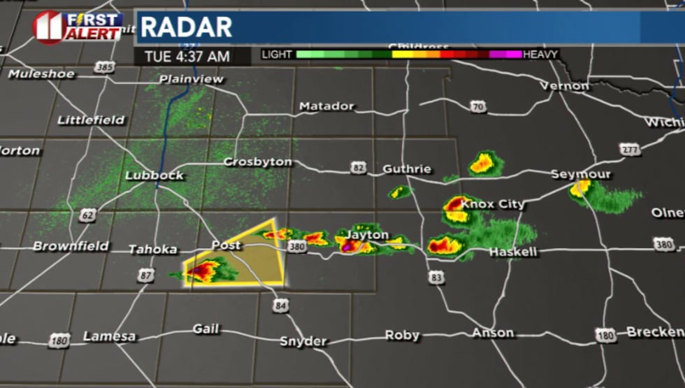
LUBBOCK, Texas (KCBD) – Severe thunderstorm activity that impacted the area early Monday has moved east, bringing an end to storm threats for the remainder of the day. With storms now out of the picture, attention turns to another significant weather concern: critical fire danger.
 KCBD(KCBD)
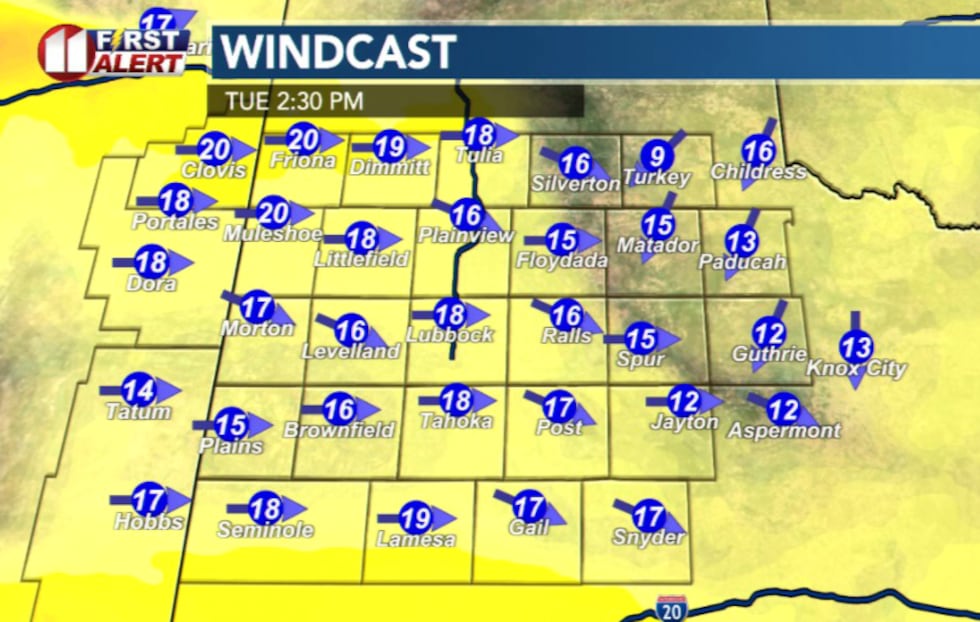
Dry westerly winds will increase through the morning and remain breezy into the afternoon. Combined with very warm temperatures, humidity levels are expected to plummet to as low as 6%, creating dangerous conditions for fire spread.
 KCBD(KCBD)
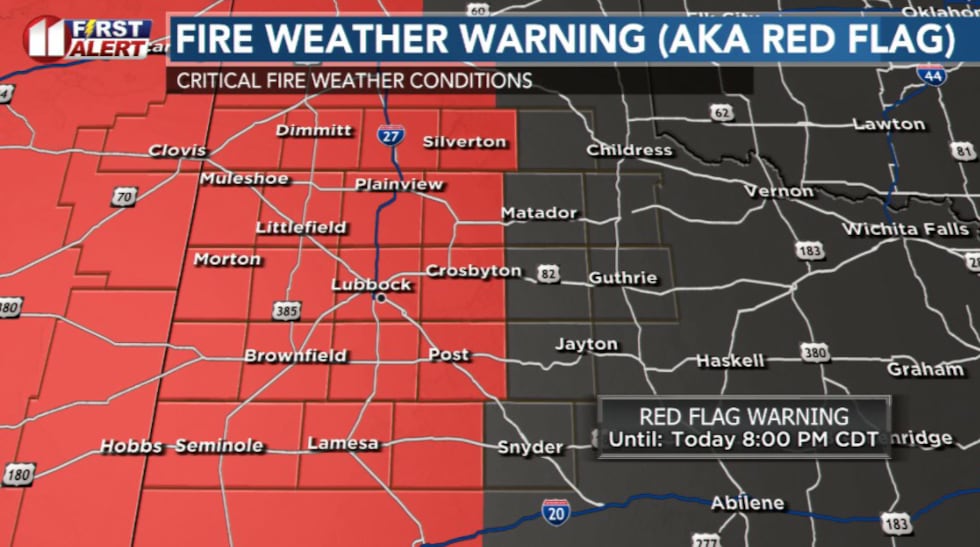
A Red Flag Warning is in effect for areas on the Caprock from noon through 8 p.m. Tuesday. This warning indicates that conditions are favorable for rapid fire growth and spread. East of the Caprock Escarpment, winds will be lighter with more of an easterly component, reducing fire weather concerns in those areas.
 KCBD(KCBD)What to Expect Through the Week
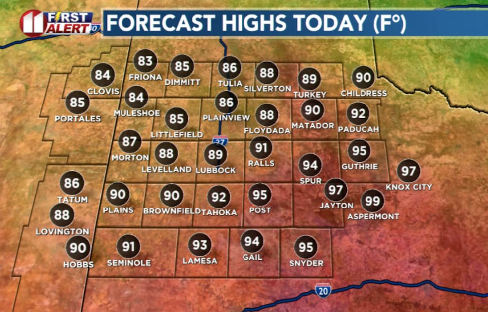
Breezy westerly winds sustained at 20-25 mph with gusts up to 35 mph will persist through Tuesday afternoon. Highs will reach the upper 80s to mid 90s.
 KCBD(KCBD)
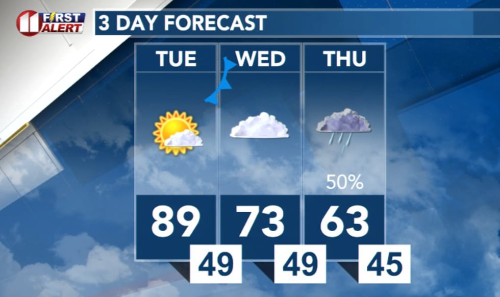
A surface cold front will move through the area Tuesday night into Wednesday morning, shifting winds to the northeast. This will usher in much cooler conditions, with highs only reaching the low-to-mid 70s for most areas and mostly cloudy skies.
 KCBD(KCBD)
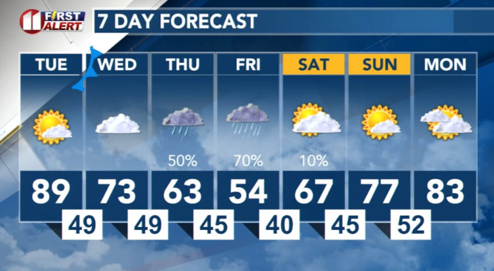
Rain becomes increasingly likely Thursday evening through Saturday morning. Warmer and drier conditions are expected to return Sunday into early next week.
 KCBD(KCBD)
Copyright 2026 KCBD. All rights reserved.