
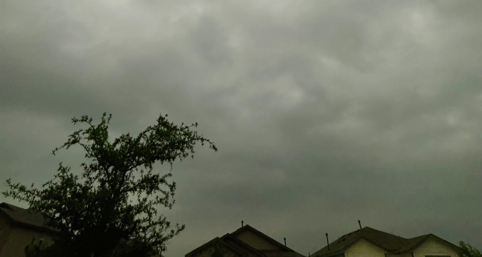
Within hours, the skies over South-Central Texas are expected to darken. The National Weather Service (NWS) has upped the region’s severe storm risk on Wednesday, April 29.
Forecasters upgraded it to level two out of five, according to an announcement shared with MySA this morning. Folks may see the thunder and lightning begin at 10 a.m. and occur on and off through 7 p.m. Currently, the San Antonio and Austin NWS offices say there’s a 40% chance of rain. Residents should stay aware of changing conditions if they have outdoor plans and enable several ways to receive weather warnings, the agency says.
The roads in San Antonio and other surrounding cities could get dangerous. Meteorologists say it’s possible that “very large hail” could fall, and isolated tornadoes could form. Additionally, gusty, damaging winds of up to 20 mph might pose a risk to outside structures.
Those based in towns North of Highway 90, such as Austin, Kerrville, and San Marcos, should have an umbrella on them because this is where the NWS’s rain chances are highest. However, the Alamo City will also see some action. Some areas could get between one and three inches of rainfall, which might spark flash flooding in some neighborhoods.
Earlier this month, roads near the UT San Antonio campus, Windcrest, and Terrell Hills shut down because of high water. An “excessive rainfall” map from the NWS also highlights New Braunfels, Uvalde, and Gonzales.
After sunset, the rain chance sinks to 20%. It will be a bit chilly with a low of around 66 degrees, meteorologists say. It all comes as a cold front moves in from the Dallas-Fort Worth metroplex.
It will fully settle in on Friday, May 1, when San Antonio’s rain chances are at their peak (80 percent). It will stall across South Texas and keep the weather “unsettled” on Thursday, April 30, per the NWS forecast discussion. You can expect more rain and temperature highs to drop into the 70s and 80s over the weekend.