
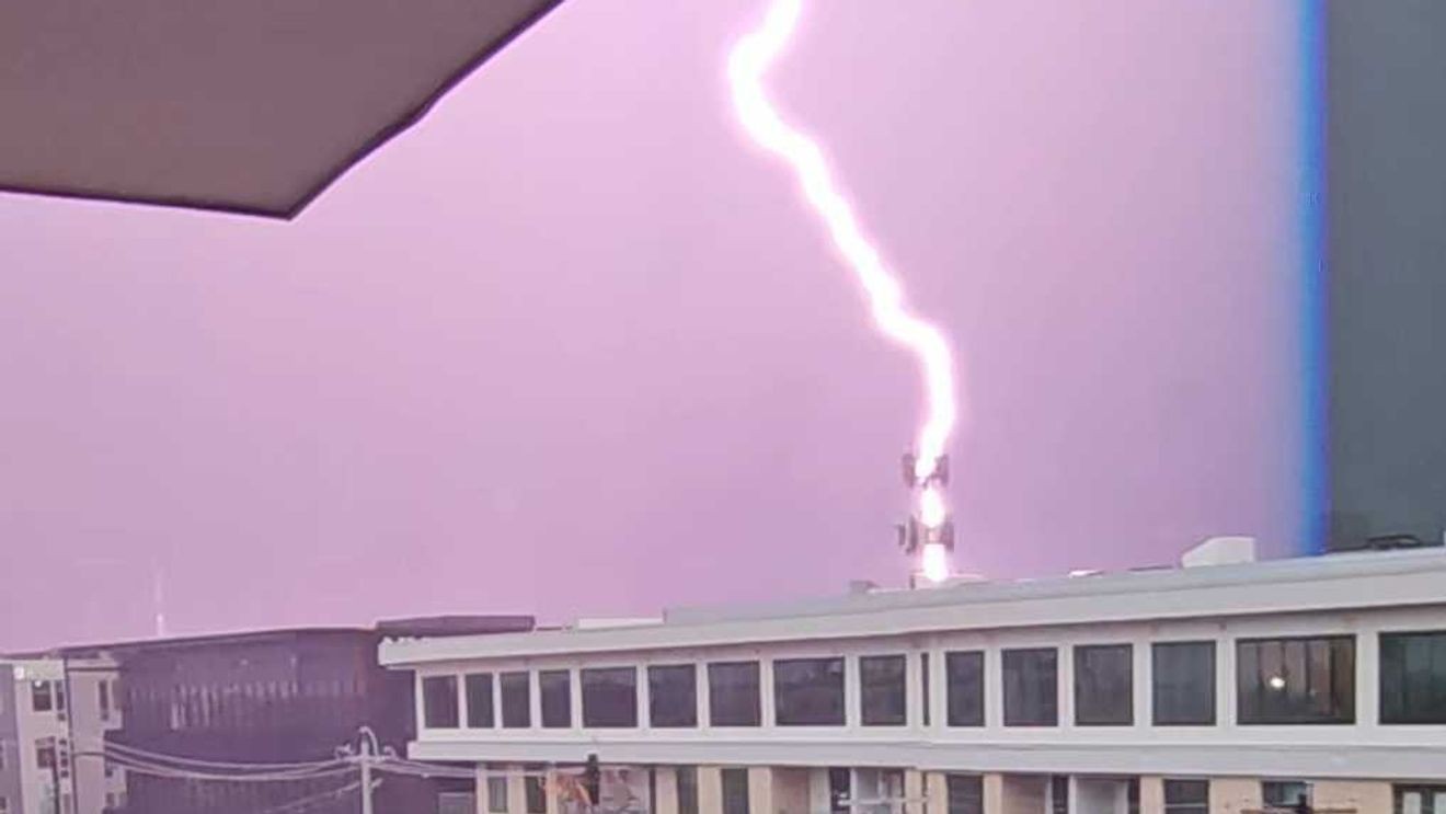
AUSTIN, Texas — A severe thunderstorm moved through Central Texas on Thursday afternoon, dumping up to an inch of rain on Travis County in a short period of time.
The storm moved through downtown and South Austin around 2 p.m., according to CBS Austin Meteorologist Avery Tomasco.
At its peak, the storm produced hail ranging from pea size to quarter size as it tracked through South and Central Austin and into southern Travis County.
Rainfall totals of a half-inch to an inch fell rapidly, raising the likelihood of flooding in some lower-lying areas, Tomasco said.
CBS Austin Meteorologist Michael Crowley said the storm exhibited the characteristics of a right-moving supercell. He traced the storm’s origins to the Hill Country, where it separated from weaker surrounding showers before diving southward at maximum strength and eventually weakening as it moved into Lee County.
“Right-moving storms like these are more likely to produce tornadoes than their left-moving counterpart,” Crowley said. He added that Thursday’s storm was not capable of producing a tornado.
Crowley said the storm appeared to split early in its life cycle, with the stronger right-moving cell spinning up while the weaker left-moving showers dissipated. Once the storm began to weaken, it lost its distinctive rightward motion and merged back with the general storm flow.
Check out the latest forecast here.
Comment with Bubbles
BE THE FIRST TO COMMENT
Share your photos on Chime In! You might see them online or on air.