
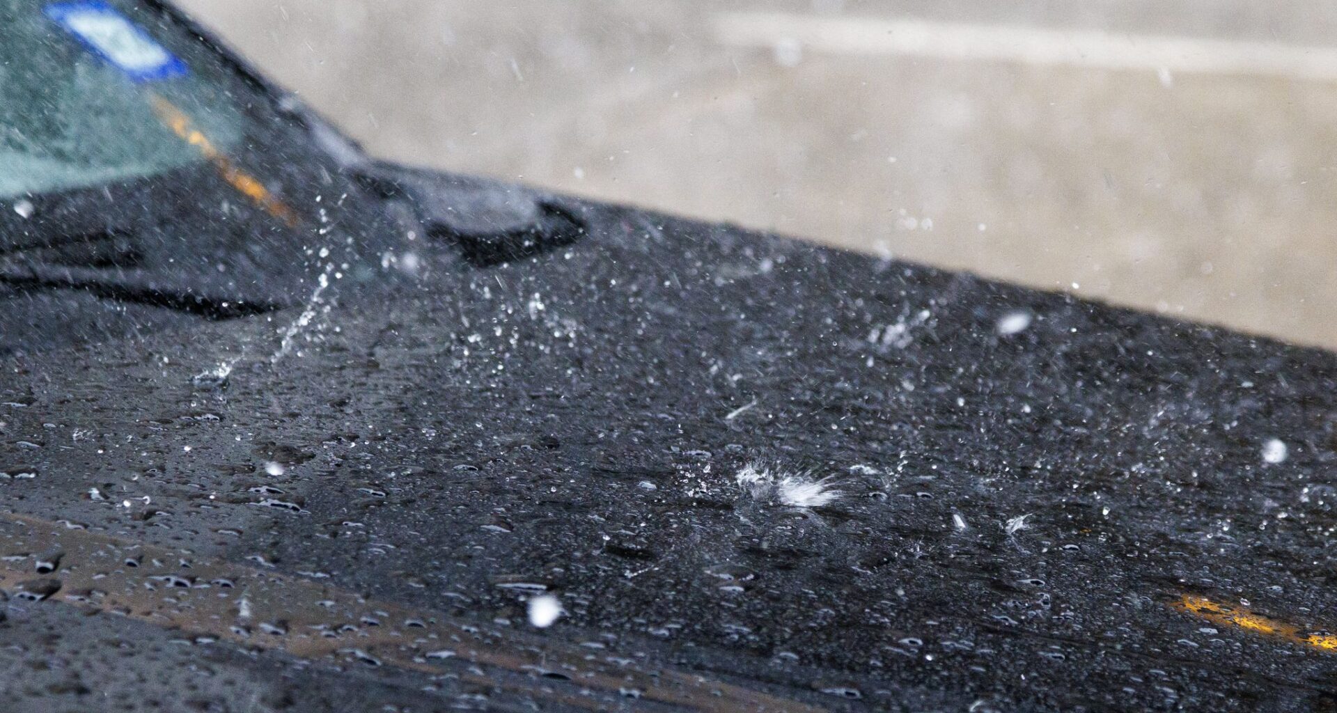
Tornadoes and baseball-sized hail hit North Texas counties Tuesday night, but those hazards mostly skipped the metro area.
Despite initial warnings of hail over 4 inches in diameter headed for downtown Dallas, the storm system split just as it reached the city, limiting precipitation and preventing most hail. Dallas Love Field Airport reported only 0.02 inches of rain that night, while the Fort Worth Alliance Airport approached 1 inch of precipitation.
To the south, North Texas saw its heaviest and largest hail. Hail reports were released by the National Weather Service’s Fort Worth office on Friday afternoon, which showed hailstones over 2 inches in diameter were routinely reported in a path stretching from Mineral Wells down to Hillsboro along State Highway 171.
The largest hailstone from Tuesday’s storms was reported near Godley, with hail that measured 4.5 inches in diameter.
Also in Mineral Wells, a city about 83 miles to the west of Dallas, a tornado with an preliminary EF-3 rating left behind significant damage. Five people were injured in the storm, but none of those injuries were critical. The Mineral Wells tornado was the strongest of five that occurred during Tuesday’s storm, according to the weather service.