
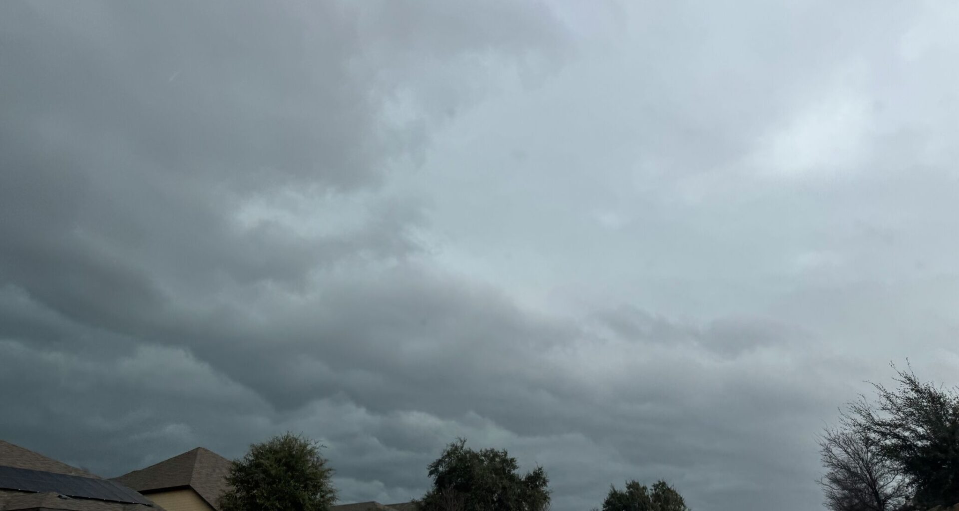
Days will get warmer each day through Wednesday, with highs in the upper 80s and lows in the upper 60s for the San Antonio area, according to the NWS. However, things will begin to level off as humid air and rain chances return Wednesday through next weekend.
Chances of rain will begin Tuesday night at 20%, gradually increasing to about 30% throughout the week. The cold front is expected to bring temperatures below average on Thursday and possibly into Friday as well. Highs will be in the 70s to low 80s, and lows in the 50s to low 60s.
May is the most active month for severe weather in South-Central Texas, according to the NWS. Late-afternoon and evening thunderstorms are common. Days can often be muggy, with warm temperatures and high humidity.
While highs are typically in the 80s and 90s, triple digits often emerge along the Rio Grande. For May 2026, the local forecast leans toward a wetter-than-normal month, with no strong signal of temperatures deviating from seasonal averages.