
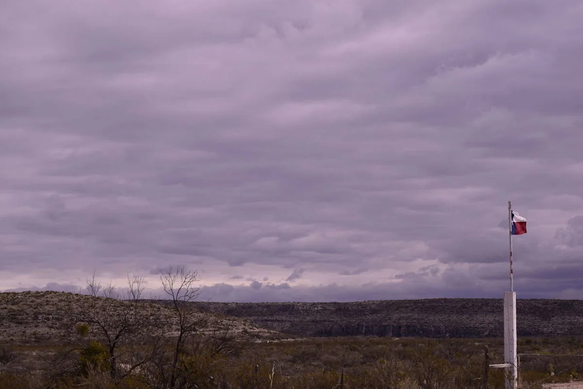
Central Texas’ cyclical weather patterns continue this spring as yet another cold front is poised to reach the Capital City this week, offering a momentary reprieve from heightened temperatures and humidity levels, along with the possibility of rain. But Texans in Austin and the surrounding areas will have to get through some rather warm weather before catching any cool relief.
The National Weather Service’s (NWS) Austin and San Antonio office issued their area forecast discussion early Monday, May 4, which flagged low to medium rain chances later this week. After a cooler-than-normal weekend in Austin and surrounding Texas cities, Monday’s highs are expected to reach the mid-80s, coupled with breezy conditions and wind gusts up to 25 mph. Come Tuesday, May 5, temperatures are expected to steadily climb, with “feels like” temperatures nearing 100 degrees through Wednesday, May 6, due to increased humidity, per NWS.
The region’s latest cold front is anticipated to arrive from the north between Wednesday night and Thursday morning, May 7. That weather shift will bring with it highs in the 70s on Thursday and lows in the mid-50s to mid-60s later that evening. The exact prospect of potential showers is uncertain at this time, officials noted, with some rain showers possible Thursday or later in the week.
“We should get a clearer picture on our late week in the coming days, but for now, a broad and low chances (mainly due to uncertainty in timing as opposed to environmental favorability) for rain are depicted Thursday through Saturday [May 9] along and in the wake of the front, with an accompanying potential for some thunder,” NWS’ long-term forecast discussion read in part. “A gradual warming trend is also anticipated amid this activity through the weekend.”
This article originally published at Timeline: Cold front sweeps toward Texas with chilly temperatures – here’s when.