
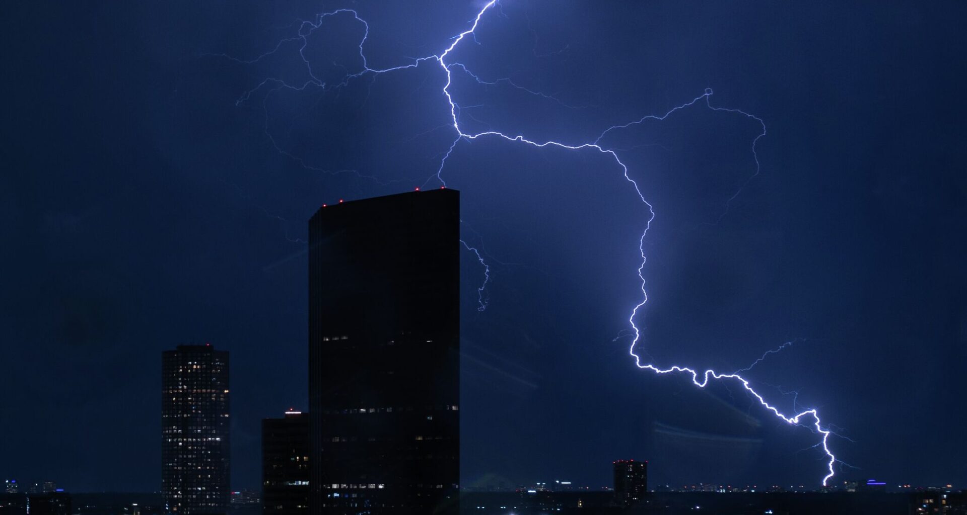
There’s an increasing risk of severe weather moving into Sunday evening, according to the National Weather Service (NWS) Houston-Galveston Office. As a cold front moves through the region tonight, a few storms along the front could become strong to severe.
“Some isolated severe thunderstorms could form ahead of the main line of thunderstorms, and both rounds of storms will carry the threat of damaging winds and large hail,” Houston forecasters wrote in their outlook.
Forecasters are also warning that an isolated tornado cannot be ruled out.
A slight chance of showers and thunderstorms is anticipated before 1 a.m., with more showers and a possible thunderstorm becoming more likely between 1 a.m. and 4 a.m., according to the NWS Houston-Galveston Office’s detailed forecast. The chance of precipitation Sunday night is around 60 percent.
There is about a 30 percent chance of severe weather in the Brazos Valley, where the risk is highest. Areas north of I-10 face a slight risk, while locations south of I-10 and along the coast are under a marginal risk.
“Damaging winds will become a more predominant threat overnight as the line of storms congeals and reaches the Upper Texas shoreline,” forecasters wrote.
Temperatures could drop to a low around 71 degrees tonight, rising back into the low 80s during the day on Monday. Dry and seasonable conditions will return to Houston in the coming week as temperatures gradually warm.