
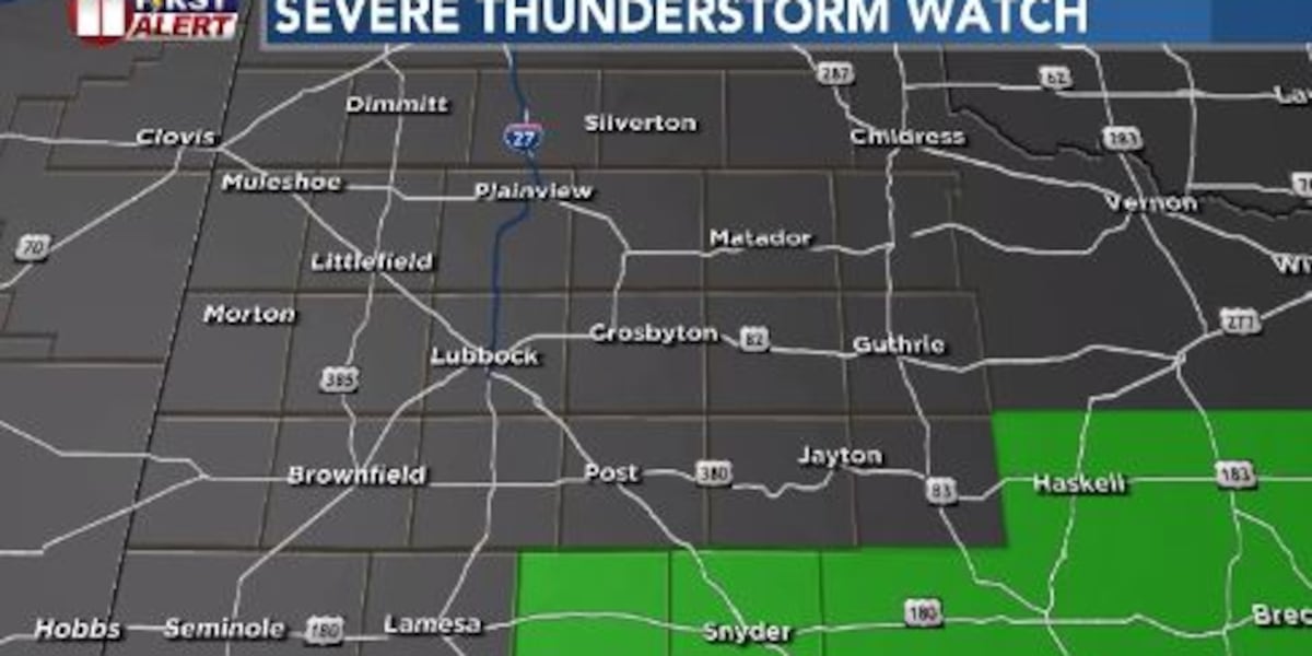
LUBBOCK, Texas (KCBD) – A Severe Thunderstorm Watch remains in effect until 9 p.m. for Borden and Scurry counties. Showers, storms will diminish and move out of the South Plains Sunday evening.
Isolated reports from today’s storms included strong winds, heavy rain and some hail.
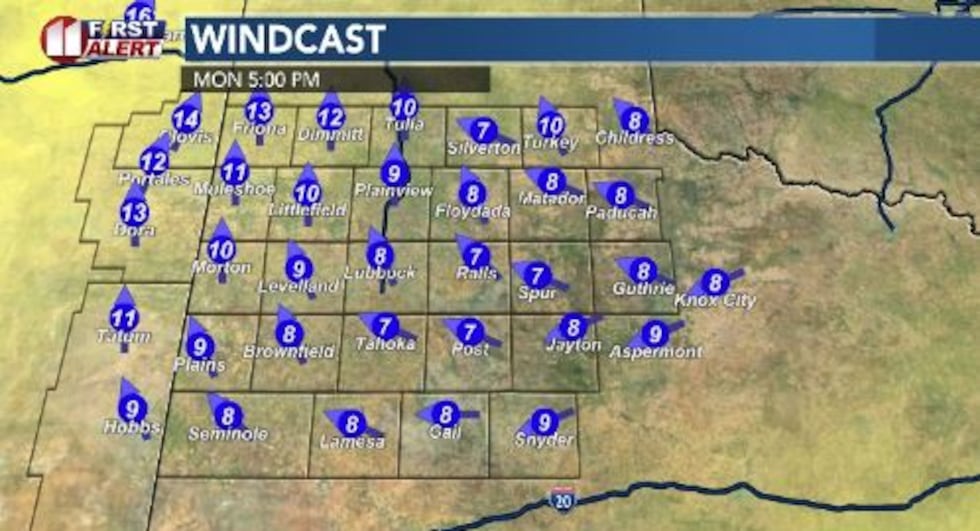 Showers, storms will diminish and move out of the South Plains Sunday evening.(John Robison | KCBD Graphic)
Fog is expected to form over portions of the South Plains Sunday night, impacting early morning travel on Monday.
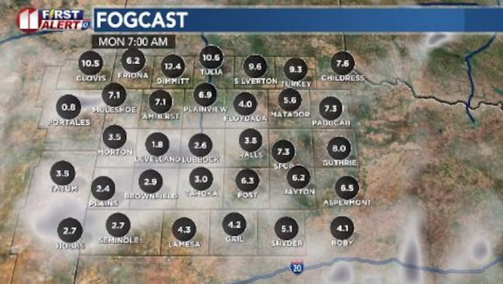 Showers, storms will diminish and move out of the South Plains Sunday evening.(John Robison | KCBD Graphic)
As a reminder, use low beam headlights and drive slower due to low visibility.
 Showers, storms will diminish and move out of the South Plains Sunday evening.(John Robison | KCBD Graphic)
Monday morning will be chilly with nighttime lows in the low to low 40s in the northwest communities to the mid-40s in Lubbock. I expect low 50s in the southwest South Plains to the mid- 50s along the southeastern communities of Jayton to Snyder.
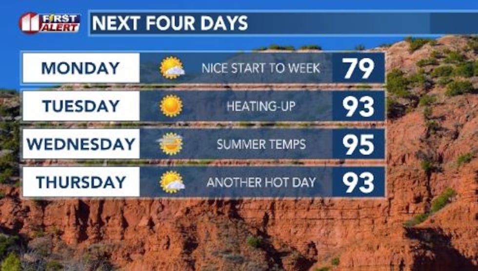
Afternoon temperatures will return to seasonable levels on Monday, from the mid-70s to near 80 degrees.
Summer temperatures will be in store for all of the region beginning on Tuesday as the daytime highs climb to the low 90s across the region. It looks like the heat will continue through the week and into next weekend.
Copyright 2026 KCBD. All rights reserved.