
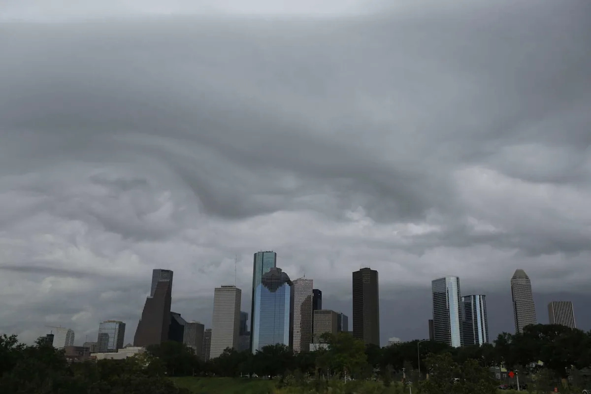
Even if the Greater Houston area might be spared from major storms on Mother’s Day, that doesn’t mean Houston is out of a chaotic weather pattern yet.
The National Weather Service in Houston shared in its latest forecast on Saturday that, while isolated storms will linger briefly heading into Mother’s Day, a cold front is looming that could bring low temperatures into the high 60s throughout the week.
Southeast Texas as a whole could see showers and thunderstorms develop Sunday night and into Monday morning as the cold front moves through. Said thunderstorms could become strong to severe, capable of producing damaging winds and large hail.
As for Mother’s Day itself? Space City Weather’s Eric Berger noted that it should be clear skies and “a warm to hot day in the upper 80s for the region.”
He added, “Rain chances are about 10 percent during the daytime, but will increase a bit later on Sunday evening and overnight as a weak front approaches the area.”
As far as going into Monday? Berger believes the Houston area will see some cooler weather in the mornings, which might be a bit unusual for mid-May in Houston, but given how unbearable the summer is going to be, getting a bit of actual spring in the mornings and evenings will be a good thing.
All eyes turn to the workweek, which could be drier until another storm (or storms) arrives on the back end of the cold front heading into next week.
More News
New Look | Historic Houston properties set for walkable retail, dining makeover
Crime | Houston police lieutenant arrested in online solicitation case
Caution | Texas’ frightening Rainbow Bridge reopens to traffic
Transitions | Shern-Min Chow left KHOU. Here’s what she’s doing now
For the latest and best from Chron, sign up for our daily newsletter here.
This article originally published at Cold front approaching as Southeast Texas faces a possible wet work week.