
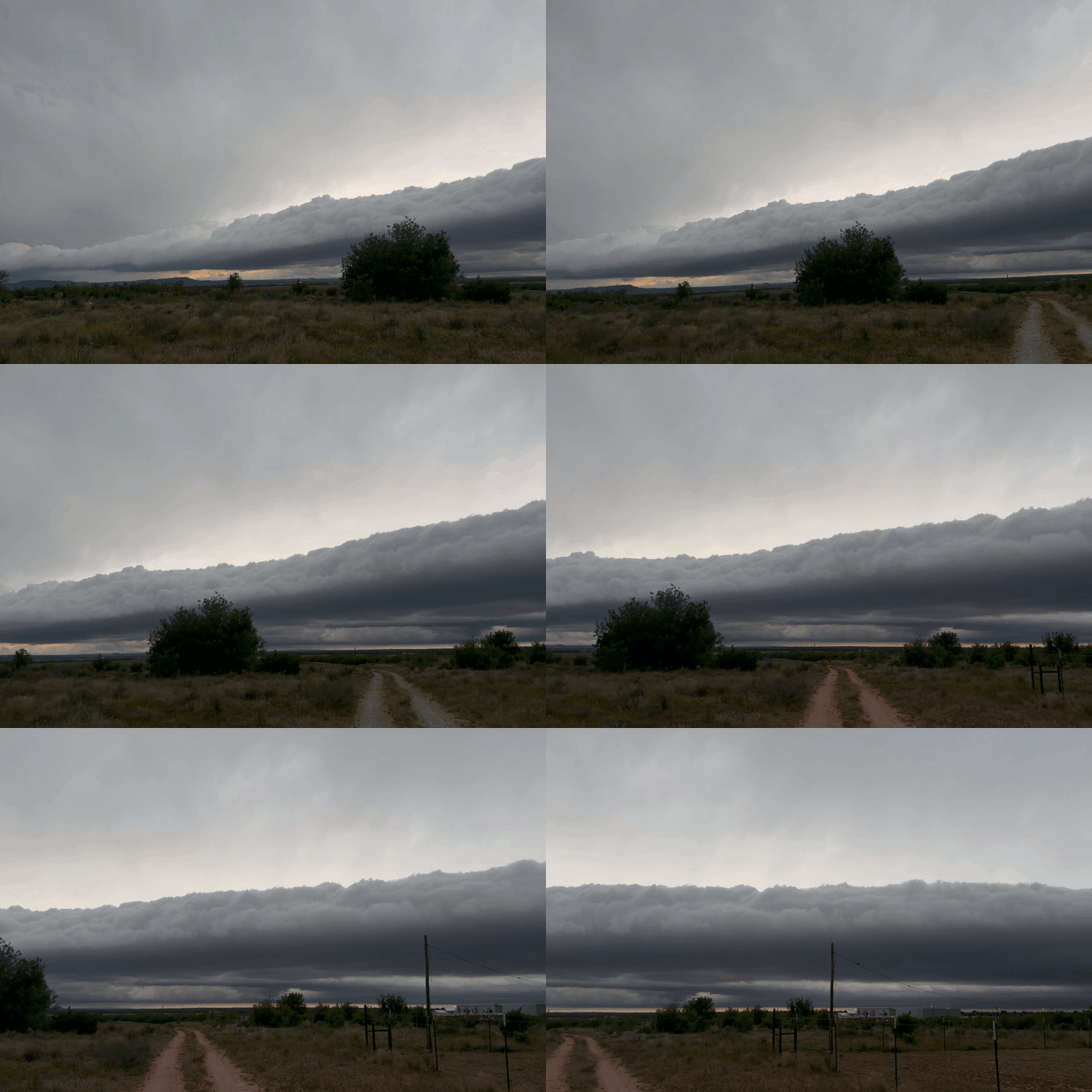
A storm chaser from north central Texas captured an incredible-looking “roll cloud”, as thunderstorms swept the region on Sunday, May 10.
Footage here captured by Meri Combs shows the system moving through Abilene, where the National Weather Service issued a Severe Thunderstorm Watch, warning citizens of “hail over the size of baseballs and winds in excess of 75 mph.”
The National Oceanic and Atmospheric Administration Home (NOAA) define a roll cloud as a low, horizontal tube-shaped arcus cloud associated with a thunderstorm gust front.
“Roll clouds are relatively rare; they are completely detached from the thunderstorm base or other cloud features, thus differentiating them from the more familiar shelf clouds. Roll clouds usually appear to be ‘rolling’ about a horizontal axis, but should not be confused with funnel clouds,” the NOAA says. Credit: Meri Combs via Storyful