
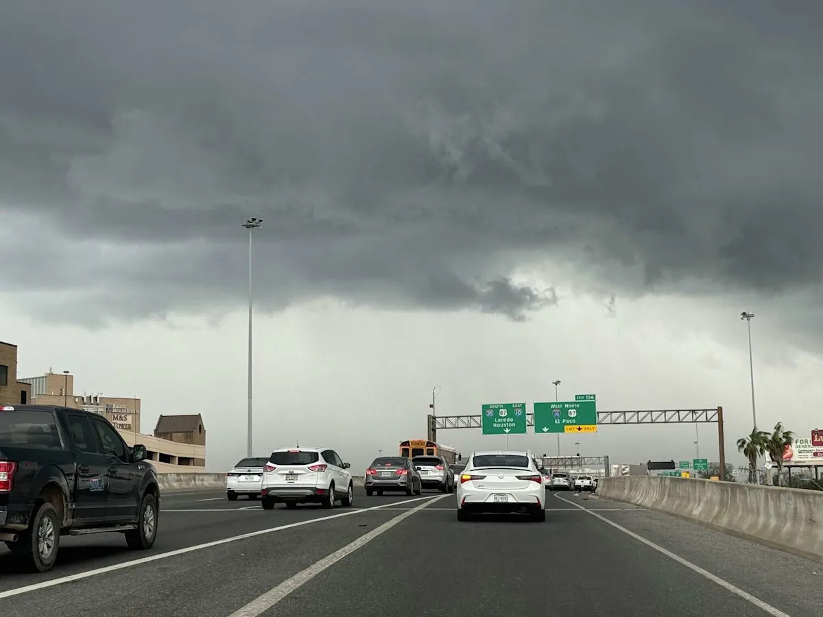
Folks in Texas better keep those umbrellas, and possibly more handy as a cold front headed through Texas in the next few days is bringing with it thunderstorms, with the potential of severe weather as well.
The National Weather Service is reporting that after somewhat dry days through Sunday, May 17 to the morning of Monday, May 18, rain and thunderstorm chances are increasing, especially into Monday afternoon in North Texas. “There is a chance for thunderstorms to develop near a dryline in western North Texas late Monday afternoon,” the NWS said. “If any storms are able to develop, they will be capable of becoming severe with hail and wind hazards.” A chances of severe weather in that area will also not go away after Monday, as the NWS says the cold front should land on Tuesday, May 19.
“More widespread thunderstorms are expected Tuesday & Wednesday [May 20] with the arrival of a cold front,” the NWS said. “Some strong to severe thunderstorms are possible each day, and the flooding potential may also increase on Wednesday after multiple rounds of rainfall.” And although it’s a few days out, chances for thunderstorms in the area remains between 30% to 80% from Thursday, May 21 to Saturday, May 23.
As for the South-Central Texas area including San Antonio, wind gusts will be the bane of our existence through the week before the cold front even moves through. Winds between 15 to 25 miles per hour will plague the area and could get as high as 30 by Monday afternoon. And following the high winds, will be the rain chances in the area as a 30% chance of thunderstorms hits San Antonio Tuesday. Showers and thunderstorms are more likely Tuesday night into Wednesday, as the chance for thunderstorms moves up to 70% between 10 p.m. and 1 a.m. and will stick around until it falls down to a persistent 50% chance through the rest of the day Wednesday.
Thursday’s chances of thunderstorms are actually higher in South Central Texas, in what could be a rainy weekend, according to the NWS. High temperatures in the area will start in the high 80s, and low to mid 90s for most of the area, while some places may even see upper 90s. But, that could change after Wednesday, as temps could potentially barely touch the lower 90s, while some places could see lows in the 60s into next weekend.
Beach Hazards Statement issued in Texas Coast
The NWS has issued a Beach Hazard Statement that is in effect through Monday morning, May 18. A high risk of rip tides and elevated tide levels are the risks for beach goers as “Rip currents can sweep even the best swimmers away from shore into deeper water.”
“Remain out of the water to avoid hazardous swimming conditions,” the NWS said. There is no exact time for if or when the Beach Hazard Statement will no longer be in effect.
This article originally published at Texas cold front to bring thunderstorms, chance for severe weather including large hail.