
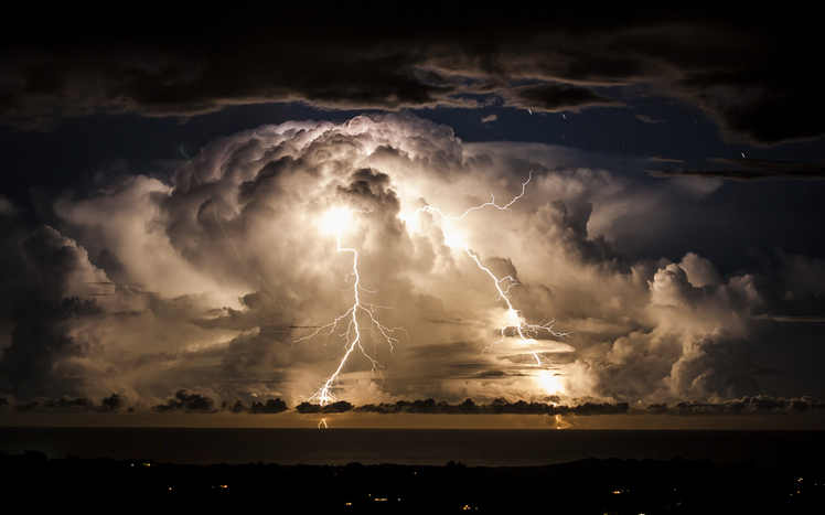
Storm clouds shroud an electrical storm of the coast of Byron Bay at night. Taken from the hinterland around Mullumbimby, early evening in Autumn as the changing sky dazzles with a natural light show of lightning bolts and billowing clouds dance in the sky for hours.
SAN ANTONIO (KTSA News) — A cold front and dryline combination is expected to bring showers and thunderstorms to South-Central Texas Tuesday afternoon and evening, and that could be only the beginning of things to come.
The National Weather Service says scattered thunderstorms are in the forecast through at least Friday, and that includes the Hill Country and the I-35 Corridor.
What to know:
Storm Prediction Center has issued Level 1-2 Risks for severe storms Tuesday afternoon and evening.
Portions of the Austin area are within the Level 2 Risk while San Antonio remains in the Level 1.
Large hail (up to 2”) and damaging wind gusts are the main threats.
Locally heavy rain leading to localized flash flooding is also possible.
Stay tuned to 550 KTSA and FM 107.1 for the latest weather conditions.
More about: