
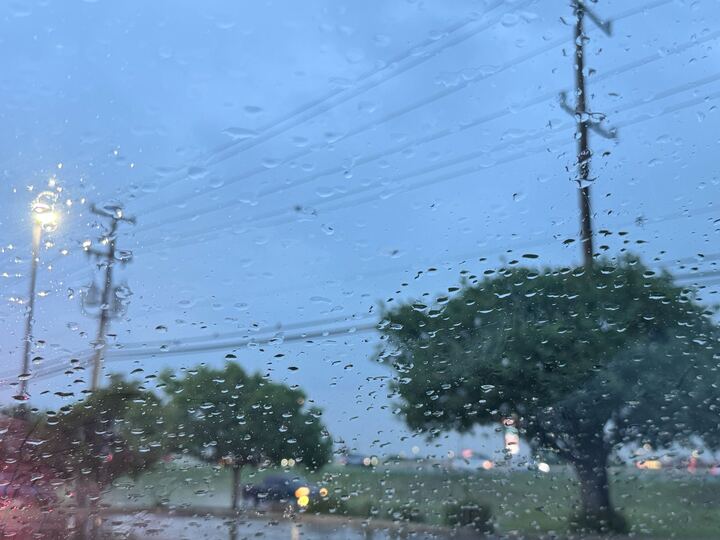
Pack an umbrella in your work bag this week. Several major cities in South-Central Texas are at risk for possible severe weather.
There’s a possibility for thunderstorms across the region on Tuesday, May 19, according to the National Weather Service (NWS). San Antonio, Austin, Boerne, and other surrounding towns face a level two out of five or “moderate” risk. Cuero, Gonzales, and La Grange are currently at level one.
Forecasters say the main threats that these systems could produce are large hail, locally heavy rain, and damaging wind gusts. There will also be consistent cloud-to-ground lightning strikes, so it will be best to stay indoors should storms develop.
Current predictions place the regional wind speed at up to 25 mph. These conditions are most likely after 1 p.m., when the area’s precipitation chance hits 20%. After sunset, that number rises to 70%.
In the most recent NWS update, officials warned that “repeated rounds of rain are possible in San Antonio and its surrounding cities, most of which are at a level two risk for “excessive” rainfall. Folks could see flooding in some neighborhoods and on the streets Tuesday night through Thursday, May 21.
The storms are partially the result of a cold front moving into the northern part of the state, meteorologists explain in the NWS forecast discussion. It is moving southward at the same time a dryline (an invisible boundary where moist and dry air collide) heads east, toward the Alamo City. This can disturb what would otherwise be a stable weather environment.
While the wetness should cool things down a bit, it will still be pretty warm. The expected high is 90 degrees, and the low is 70 degrees, per the NWS.
The highest chance for rain (85%) comes on Thursday, May 21. The lowest (65%) is on Sunday, May 24.