
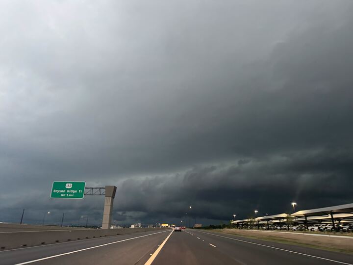
Thousands of Texans are left without power on Wednesday, May 20, after heavy rain fell overnight. The storms are expected to continue, according to the National Weather Service (NWS).
Forecasters say San Antonio, Uvalde, and Fredericksburg are among the cities at a level two out of four risk for upcoming showers to cause flash flooding in some areas. The South-Central region is currently looking at receiving 0.5 to 1 inch of rain, with isolated amounts from 2 to 5 inches expected through the morning of Thursday, May 21.
During the daylight hours, it will be partly sunny with a high near 84 degrees. Come nighttime, though, the precipitation chance shoots to 70%. The rain would most likely begin overnight, with the peak likelihood along U.S. 281 (mainly the Alamo City, Hondo, and the New Braunfels areas) being between 2 a.m. and 7 a.m. on Thursday.
The NWS expects the system to move into the southern Edwards Plateau and Rio Grande Plains this afternoon. The severe threat will lessen as storms continue towards and east of the I-35 corridor, the agency says.
Uvalde, Rocksprings, and Carrizo Springs are at a level one out of five risk for storms turning severe this evening. Del Rio is at level two. Residents are most likely to see them develop between 11 p.m. and 4 a.m. on Thursday. Meteorologists say folks in these areas could see 2-inch-sized hail, gusty winds damaging structures, and lightning. La Grange, Cuero, and Gonzales shouldn’t see any action until the hours of 5 a.m. to 10 a.m. Thursday.
Forecasters are monitoring the situation and warn that additional rounds of heavy rain through the weekend
could warrant the need for a Flood Watch. Folks should set up several ways to get warnings on their electronic devices.