
Weather Impact Alert: Corpus Christi and the Coastal Bend will continue to see rain and off-and-on thunderstorms through the holiday weekend
CORPUS CHRISTI, Texas — Your beach plans will be soggy over the holiday weekend as heavy rainfall remains in the forecast for the Texas Coastline well into the Memorial Day Weekend.
Now every day is not a washout, but we are tracking multiple rounds of heavy rainfall that will continue off and on through next Tuesday.
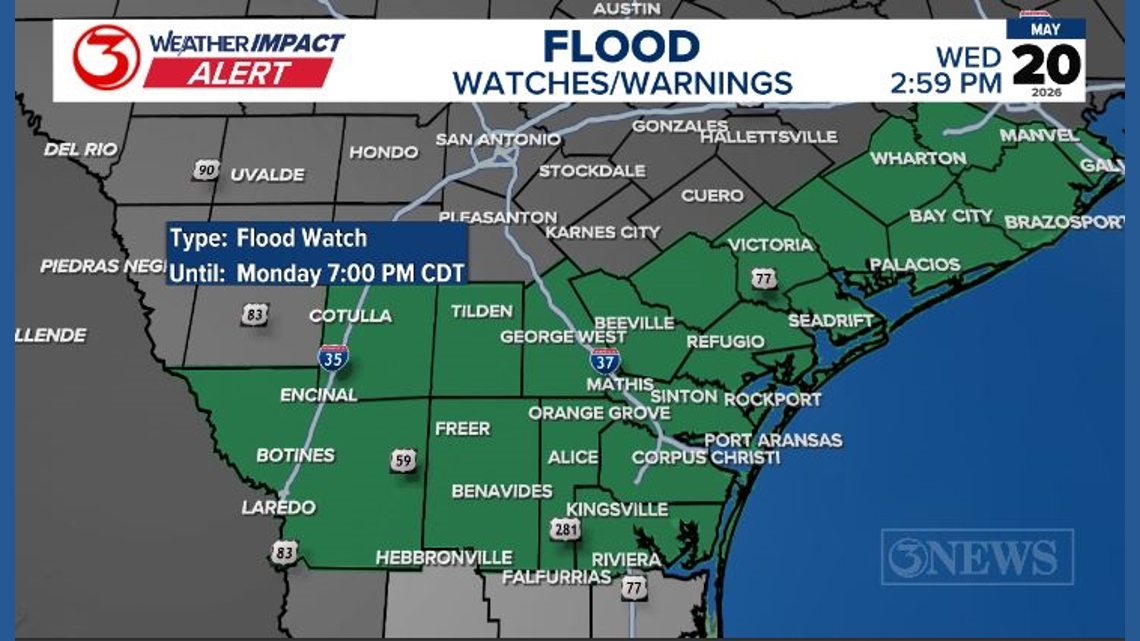
A flood watch was issued by the National Weather Service on Wednesday and will continue through Monday evening.

This story continues below.
A watch means conditions are favorable for flash flooding, river flooding, or areal flooding over low-lying areas.
The Coastal Bend has seen a good soaking of rainfall over Tuesday morning and Wednesday morning. The soil is now saturated, which means runoff is likely during the next rain event.
River flooding is likely over the weekend and well into next week. Avoid low-lying areas and low river crossings.
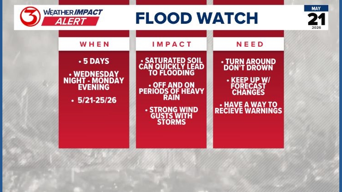
Wednesday night, another round of storms is expected to move west to east across the area. Confidence is high that the Brush Country will see another round of rain. Model guidance shows these storms weakening as they approach the coast. There is a low chance of damaging winds gusts, especially as the storms weaken, they can produce stronger wind gusts with the downdraft.
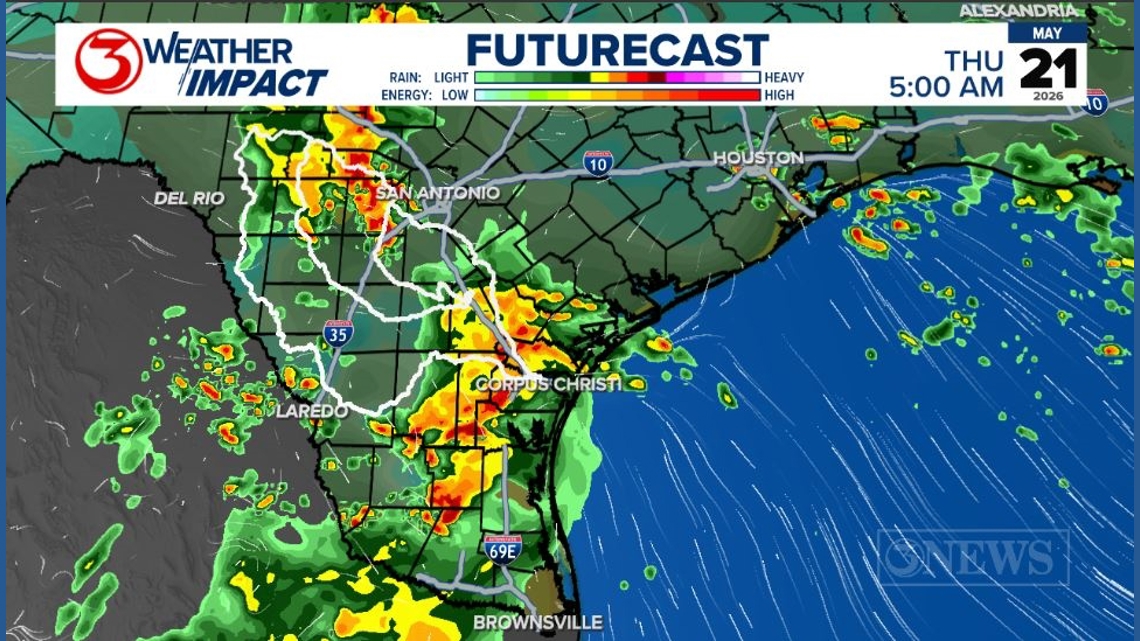
This pattern is not over, though. I like to call this time of year MCS season. An MCS is a mesoscale convective system. These are small areas of low pressure that develop with afternoon and evening thunderstorms as the sun is setting. While the air temperature naturally drops and tends to stabilize the atmosphere, the MCS becomes its own weather system, continuing to provide the thunderstorms with the necessary lift to survive in an environment with less energy.
A mesoscale convective system likes to move between an area of high and low pressure. Which is exactly what we saw last night. We are in this weather pattern that allows for an MCS to develop along the Pacific jet stream and move into South Texas on any given day. As long as we have an area of high pressure over the Gulf and a low in the Southwest. Then we will keep a daily chance of thunderstorms, especially overnight. Last night our soil was saturated, so new storms may lead to minor street flooding.
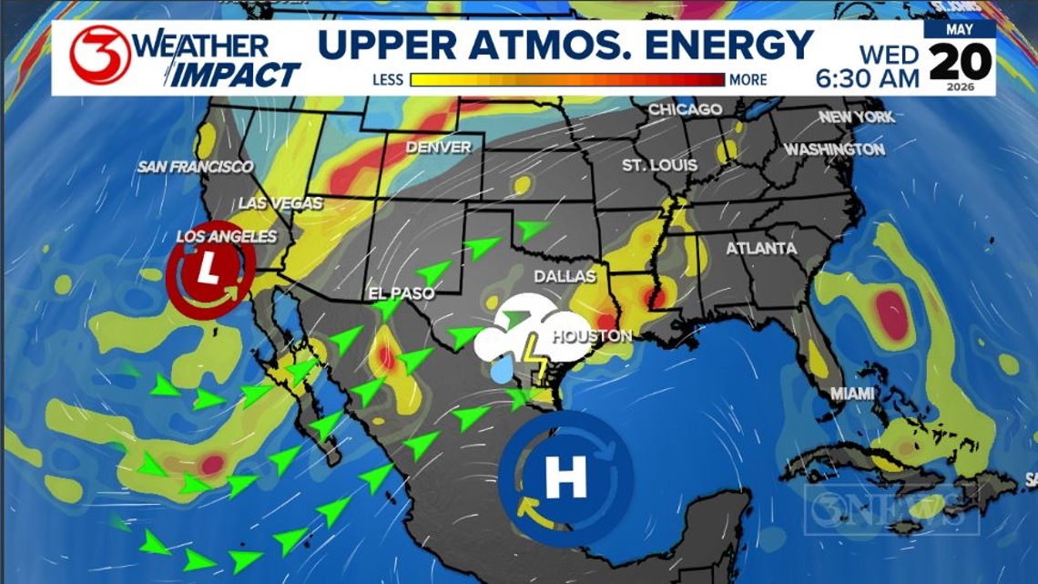
This pattern continues over the Memorial Day Weekend. The low will move closer to Texas, increasing our atmospheric instability. This means we could see longer periods of rain and higher rain totals over the weekend. Anyone with outdoor plans should have a backup this weekend. If you know anyone planning to camp, especially in the Hill Country, make sure they have a way to receive weather alerts. Flash flooding and river flooding are likely on any given day this week.
Seven-day rainfall totals of 2-4 inches are likely. 6-8 inches is possible, and there will be isolated areas with much higher amounts. This is a great pattern to be in during a drought, but it’s not the best for outdoor activities.