
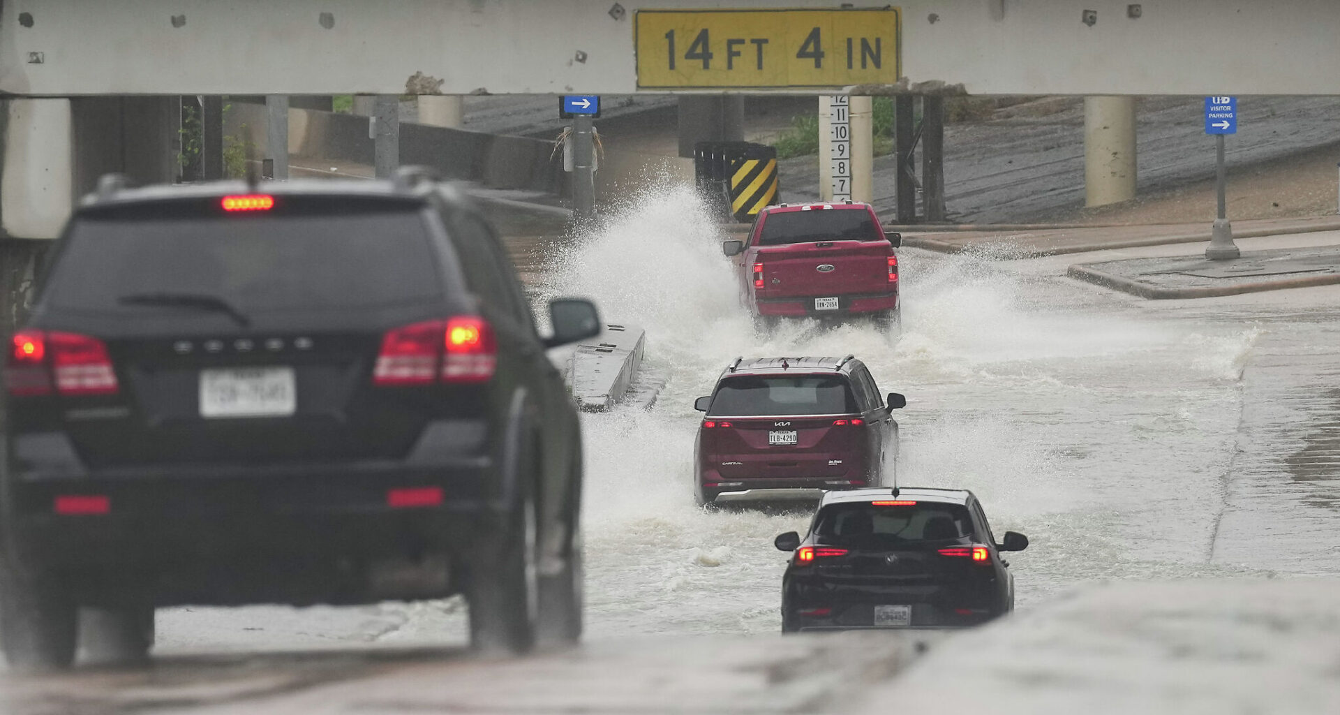
While one or two days of heavy rainfall isn’t atypical for Houston, forecasters warn that this prolonged series of storms elevates flood concerns.
“Only rarely have we seen periods of several days of moderate to heavy rainfall as we are now experiencing,” Eric Berger with Space City Weather wrote in his Wednesday outlook. Space City Weather has issued a Stage 2 flood alert, with Berger noting higher rain totals are expected this weekend.
“We are anticipating that they’ll keep pushing into the area with an upper level low gradually approaching from the west going into the weekend,” Houston forecasters wrote in their outlook.
There is a 70 percent chance of precipitation Thursday, dropping to about 60 percent at night. Temperatures are expected to reach a high around 81 and a low near 72.
A flood watch will go into effect for coastal counties Thursday morning, and is expected to last through Monday morning.
Toward the end of the week and into the weekend, there is a daily potential for locally heavy rainfall, according to the NWS Houston-Galveston Office. A marginal risk of excessive rainfall is forecast across Southeast Texas on Friday, rising to a slight risk on Saturday due to increasing shower and thunderstorm activity.
“Some of these storms may be strong at times carrying the potential for strong winds,” Houston forecasters wrote in their outlook.
Meteorologists are anticipating rainfall totals between four and six inches, with isolated higher amounts between Thursday and Monday.
“Keep in mind that these initial rounds of rainfall are priming the soils for the later rounds of rainfall,” Houston forecasters wrote. “Saturated soils lead to quicker runoff, which brings the potential for flash flooding…There is potential for the Flood Watch to be expanded in area going into the weekend.”