
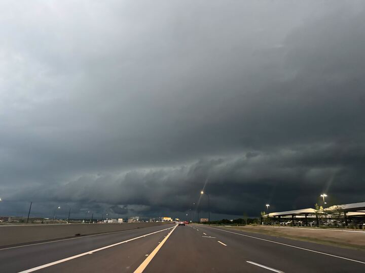
Portions of the Hill Country, the I-35 corridor and the Coastal Plains are in the Flood Watch zone, effective through Memorial Day. This includes Hondo, Kerrville, and Austin. Forecasters say most areas will receive 2 to 4 inches of rain over the next few days, with some counties seeing up to 6 inches.
The greatest potential for flooding is on Saturday, May 23, the NWS said in its latest weather update. Several rounds of showers could roll in, and creeks and other low-lying bodies of water could flood in short order, making it life-threatening, according to the NWS. Residents are reminded to “turn around, don’t drown” and stay aware of changing road conditions.
San Antonio and Boerne are among the towns at a Level 2 risk for excessive rainfall, while Rocksprings and Del Rio are at Level 1, according to the recent update. The region is also at a Level 1 out of 5 risk of severe storms on Saturday, meaning they could include damaging wind gusts and hail. They’re most likely to develop in the afternoon over the Edwards Plateau and Hill Country, then move eastward during the evening and overnight hours across South Central Texas.
Precipitation chances range from 20 to 80% through Sunday, May 24, according to the agency’s seven-day forecast. A wet pattern is expected to persist through next week, per the NWS. Current weather models suggest Memorial Day will be sunny with a high near 86 degrees and a low around 71 degrees. There’s a 20% chance of rain after 1 p.m., so any outdoor gatherings may be better in the morning.