
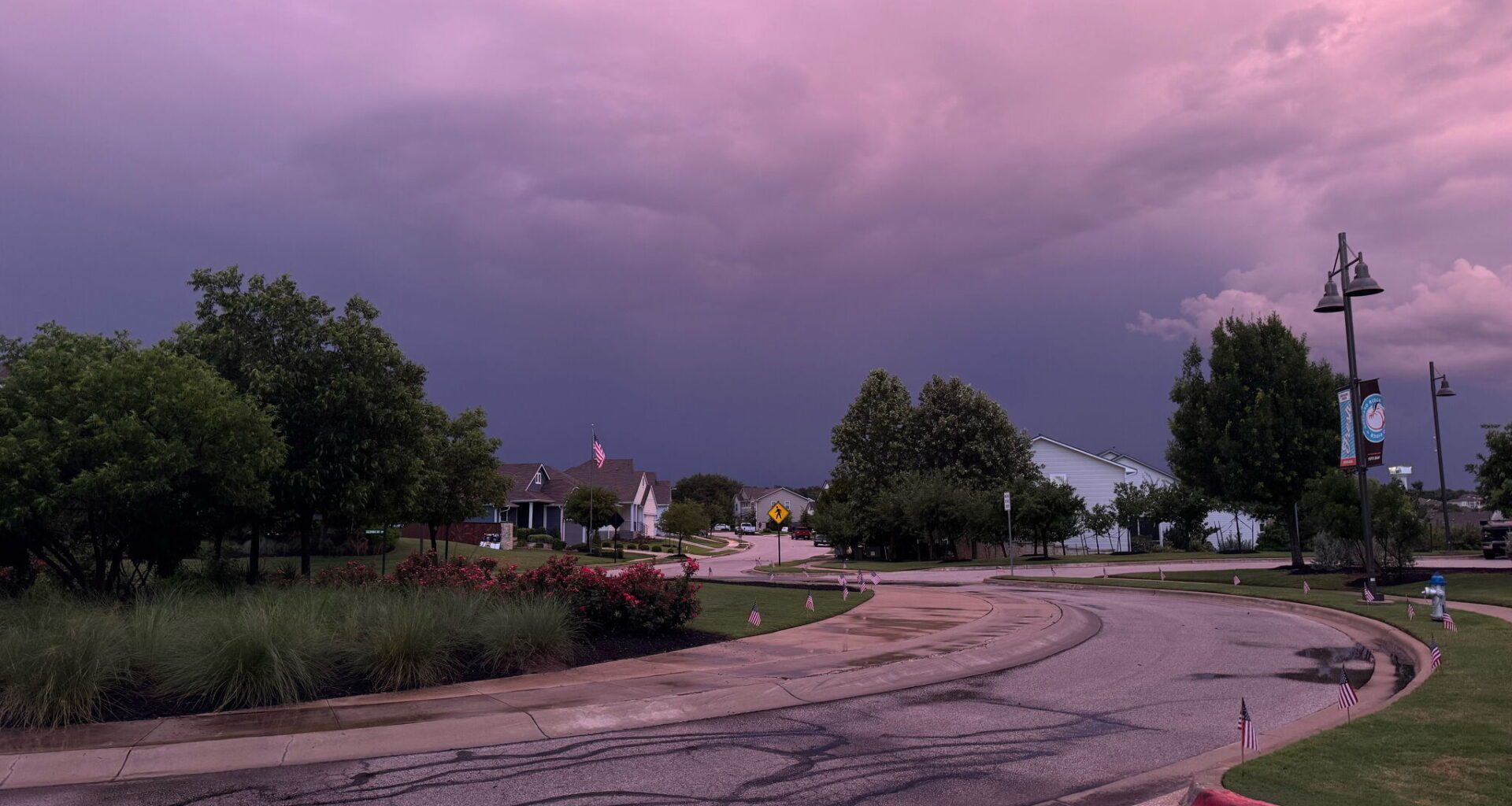
Update May 26, 10:35 p.m.: The National Weather Service has issued a tornado warning for Seguin, roughly 40 minutes northeast of San Antonio, and Belmont until 11 p.m.
Additionally, CPS Energy’s chief meteorologist Brian Alonzo reported at 10:27 p.m. via X that a new tornado warning had been issued for Guadalupe County, adding that a “TORNADO HAS BEEN RADAR CONFIRMED!”
According to Alonzo’s post, the rotation was spotted on the radar in Santa Clara, between New Braunfels and Converse.
A tornado warning and a flash flood warning have been issued across the greater San Antonio area on Tuesday night, May 26.
Just before 10 p.m., the National Weather Service’s Austin/San Antonio office issued a tornado warning in several San Antonio areas, including Schertz, Universal City and Converse. The tornado warning is in effect until 10:30 p.m. In an alert sent out to phones in the San Antonio area, NWS told residents to “TAKE COVER NOW!”
“Move to a basement or an interior room on the lowest floor of a sturdy building. Avoid windows. If you are outdoors, in a mobile home, or in a vehicle, move to the closest substantial shelter and protect yourself from flying debris.”
The alert added that “tornadoes are extremely difficult to see and confirm at night,” warning people not to wait to “see or hear the tornado.” According to the NWS, the cluster of storms rolling in is capable of producing “tornadoes and widespread significant wind damage.”
Minutes later, at 10:03, the NWS issued a flash flood warning for San Antonio, Universal City and Converse until Wednesday, May 27, at 1:15 a.m. Monitor NWS’ social media pages and MySA’s weather page for updates on weather alerts.