
Rain and storms are expected to end on Wednesday, and they might end up being the last widespread rain event in Austin for the rest of the month.
Current forecasts keep much of Texas dry through the rest of the work week, with only parts of North, Northeast and West Texas seeing any activity during the first half of the weekend. The second half of the weekend could turn a bit more active for Central Texas as we head into the first few days of June.
We will be sandwiched in between an area of low pressure on the East Coast and an area of low pressure on the West Coast, with a ridge of high pressure in between, but this will be short-lived.
Wednesday will be cloudy and milder with afternoon temperatures only climbing into the lower 80s, which would be slightly cooler than normal. Winds will be light, coming in from the east and southeast.
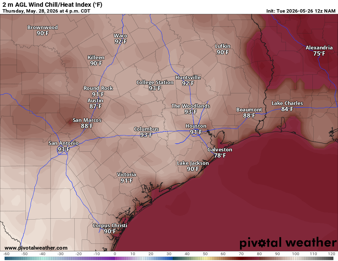
Thursday will be warmer with a little more sunshine. We’ll begin the morning with an overcast sky and warm temperatures in the upper 60s and lower 70s. The afternoon will turn partly cloudy as temperatures rise into the upper 80s, but feel more like the lower 90s when you factor in the humidity.
Friday will be like Thursday, except the morning clouds will break way earlier in the day, and we’ll see mostly sunny skies by noon. This will help boost temperatures into the more seasonable upper 80s. Humidity, though, will drive heat index values into the lower to mid-90s.
The final weekend of May looks to be split between dry and unsettled weather patterns, with sunshine and calmer weather carrying into Saturday before rain and storm chances return on Sunday. Right now, rain chances remain low — around 20% to 30% — as a mid-level atmospheric disturbance moves across the state.
It’s still too early to determine whether any severe weather or heavy rainfall will develop, but any thunderstorms that form are expected to be more isolated rather than the large storm complexes we’ve seen recently.
While we’re ending May with temperatures running slightly above our late-May averages of 90 degrees for highs and 70 degrees for lows, above-normal temperatures are expected to settle in through the first week of June, along with continued wetter weather.
The National Weather Service’s Climate Prediction Center is signaling the emergence of that same pattern through June 5 in its six- to 10-day outlook and continues the trend through June 9 in its 10- to 14-day outlook.