
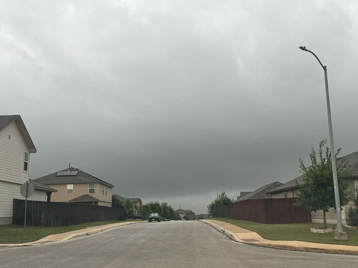
Forecasters say a second storm system could move over the Rio Grande Plains into the Coastal Plains this morning. The main threats it could bring are small hail, locally heavy rain, gusty winds, and frequent lightning. Folks based near Pearsall, Pleasanton, and Jordanton could be impacted, according to the National Weather Service (NWS).
Meanwhile, San Antonio, Austin, and other surrounding towns are at a level 1 out of 4 risk of excessive rainfall. The NWS says it would mainly target the area along and east of Highway 281.
“The main complex of heavy rain and thunderstorms has advanced through the region, and the air has stabilized in the wake of this complex,” the agency told MySA in its latest weather update. “If the atmosphere could destabilize enough this afternoon, then a few afternoon showers or thunderstorms could be possible east of the Highway 281 corridor.”
This could spark isolated instances of flooding by the highway, forecasters say. Aside from what the radar is showing about these towns, much of the region will see dry conditions. There’s a 15% to 20% chance an isolated shower or thunderstorm will form along and east of I-35 before 10 a.m. That low possibility returns just before 9 p.m.
Looking ahead, the Alamo City and many of its counterparts will enjoy temperatures in the low 70s to low 90s. Grey clouds aren’t in the forecast again until Saturday, May 30.