
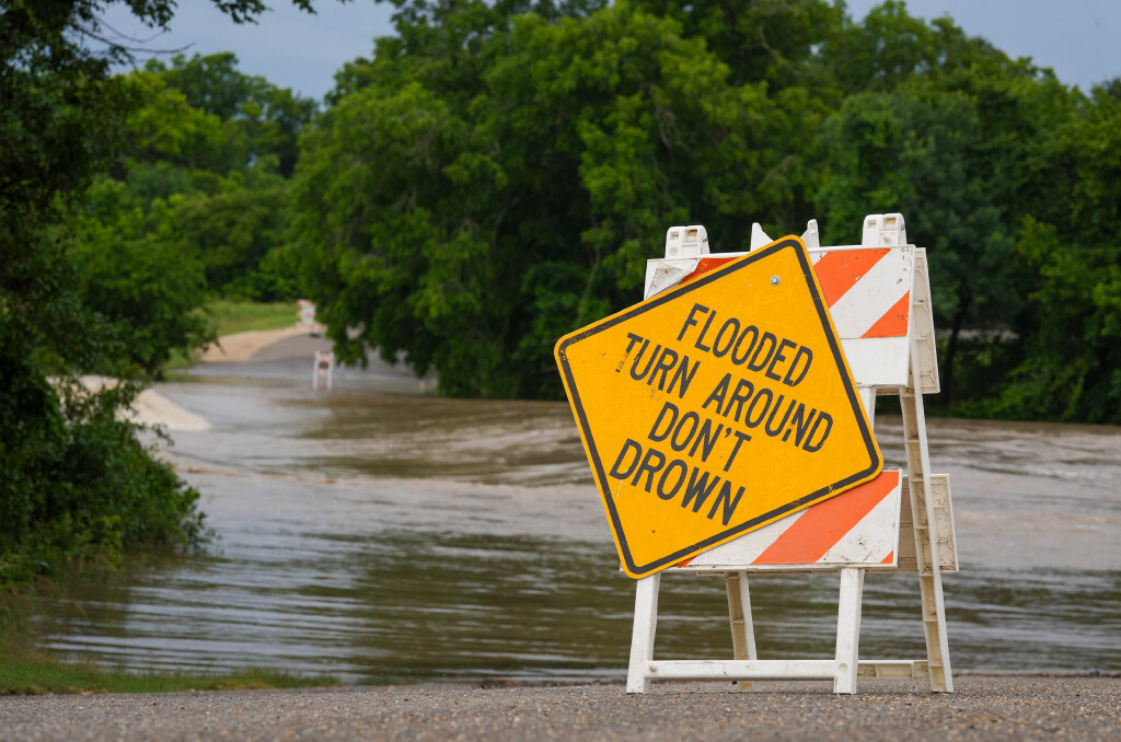
Rainfall totals ranged from 2.5 inches to more than 4.5 inches in Burnet and Williamson counties, while Travis, Hays and Bastrop counties logged a more manageable 1 to 2 inches of rain.
The Tuesday-Wednesday storm system continues to push east as a weak ridge of high atmospheric pressure settles over Texas on Thursday. That shift will bring several days of drier weather, but don’t expect a break from the muggy air. The humidity is going to stick around and unfortunately, it’s going to get hotter.
After a mostly cloudy and mild start Thursday morning, skies will gradually clear through the afternoon. Only a slim chance for an isolated shower or thunderstorm remains. Afternoon highs will reach the upper 80s, but it will feel more like the lower to mid-90s, thanks to dew points hovering near 70 degrees.
Dew point temperature measures the amount of moisture in the air and represents the temperature at which the air becomes fully saturated. Unlike relative humidity, it provides a more direct measure of how muggy it feels outside. In simple terms, higher dew points make conditions feel stickier and more oppressive because sweat cannot evaporate as efficiently from the skin.
Even with weak high pressure in place, the tropical humidity will remain locked in with high dew point temperatures and heat index values soaring into the 90s, which is about 5 to 7 degrees above the actual air temperature.
Friday’s forecast will be even warmer with less cloud cover than Thursday. Morning temperatures will be in the mid-70s when we wake up and then quickly climb into the 80s by 11 a.m. Afternoon temps then rise into the lower 90s by 2 p.m. but will feel more like the upper 90s with the humidity.
Trying to forecast any rain potential across Central Texas this weekend will be a bit tricky.
An upper-level low pressure system over the western United States will move northeast by Saturday, bringing a southwesterly flow over Texas for the weekend.
As we’ve seen over the past month, this pattern typically sends small atmospheric disturbances, or shortwaves, into Texas that can trigger showers and thunderstorms. This weekend we’ll toss in a small 20% to 30% chance of rain from Saturday through Tuesday. However, nothing so far appears well-organized, particularly strong or capable of producing heavy rainfall.