
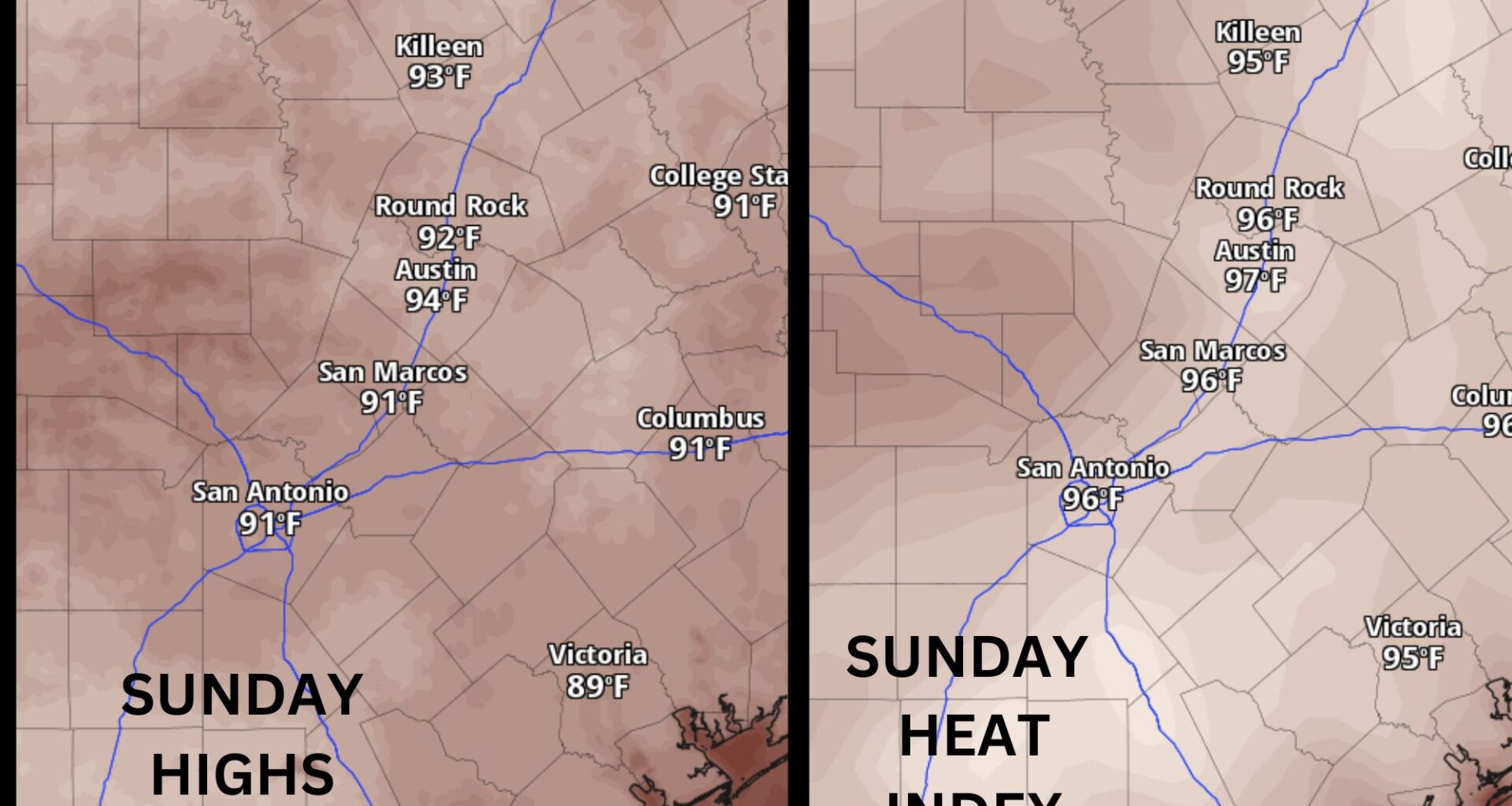
May will end on a sunny, hot and muggy note across Central Texas, with afternoon temperatures climbing into the lower to mid-90s and humidity-driven heat index values pushing into the upper 90s. Plenty of sunshine and sticky air will make the weather feel more like the start of summer than the final days of spring.
Despite the summer-like heat, May 2026 in Austin has been typical overall. Compared to April, which had an average daily temperature 3 degrees warmer than normal, about half of the days in the entire month of May featured below-normal temperatures, while the other half leaned warmer than average.
At Austin’s main climate observation site at Camp Mabry, the coolest temperature of the month was 50 degrees on May 2, while the warmest reached 94 degrees on May 19. Rainfall also has also tracked close to normal, with measurable rain recorded on 13 days and a monthly total of 4.5 inches — just shy of the typical May average of 5.04 inches.
Even though we fell slightly short of average rainfall this month, April brought a significant surplus from normal of more than 2 inches, helping ease drought levels across the region. Over the past six weeks, drought levels have been slowly improving across the Lone Star State, according to the U.S. Drought Monitor. This week marks the first time drought conditions have stalled, or remained unchanged, since mid-April.
While the drought hasn’t completely disappeared, freshwater sources continue to improve and trend in the right direction. In fact, Lake Buchanan reached full capacity this past week, with its surface elevation at 1,019.9 feet above mean sea level for the first time since July 2025, following the devastating Hill Country floods. Meanwhile, the surface elevation at Lake Travis has risen to 669.53 feet above sea level, making the lake 82% full. Lake Travis water levels have climbed about 3 feet in just the past week.
Rain chances will come back into the picture throughout the work week as moisture continues to surge into the region from the Gulf Coast and several mid-level atmospheric disturbances move across the state.
“Forcing will be weak much of next week, with precipitation chances mainly driven by diurnal heating or some sea-breeze activity accompanied by mid-level disturbances,” meteorologists at the National Weather Service wrote in their daily forecast discussion. “Guidance still does seem to favor the middle to late week timeframe for the better rain chances with highest chances each afternoon and evening.”
Temperatures will hang out around 90 degrees for the first half of the week and then drop by a couple of degrees late in the week, when we will see more overcast skies and rain chances.