
Houston will start June with a familiar combination of heat and humidity, with temperatures climbing into the 90s and heat index values approaching or exceeding 100 degrees. But as the week progresses, rain and thunderstorm chances are expected to increase, offering at least some relief from the early-summer heat.
Scattered afternoon storms are expected to become more common beginning Tuesday and continuing through the end of the workweek. Widespread severe weather is not anticipated, but some storms could produce brief heavy rainfall, frequent lightning and gusty winds.
Temperatures will remain firmly in summer mode to start the week, with afternoon highs reaching the lower 90s and heat index values climbing into the upper 90s and lower 100s.
Overnight temperatures won’t offer much relief, falling only into the low and mid-70s inland and remaining near 80 degrees closer to the coast.
Anyone spending extended time outdoors should take precautions against the heat by staying hydrated, taking frequent breaks and limiting strenuous activity during the hottest part of the day.
A few isolated showers and thunderstorms could develop Monday afternoon, especially near and south of Interstate 10, as the sea breeze moves inland. Most areas, however, should remain dry.
Rain chances begin to rise Tuesday as increasing instability combines with several upper-level disturbances moving across Southeast Texas.
Unlike Monday’s mainly sea-breeze-driven storms, Tuesday’s setup could allow showers and thunderstorms to develop across a broader portion of the Houston area during the afternoon and evening hours.
Additional scattered storms are expected Wednesday as daytime heating peaks and lingering disturbances continue moving through the region. While not everyone will see rain each day, many communities could experience at least one round of thunderstorms by the middle of the week.
The unsettled pattern may continue into the second half of the week as a storm system over the Southwest moves toward northern Mexico and sends additional disturbances into Texas.
That setup should keep daily rain chances in the forecast through at least Friday while helping hold temperatures slightly below typical early-June heat levels. Highs are forecast to remain mostly in the upper 80s late in the week rather than pushing deeper into the 90s.
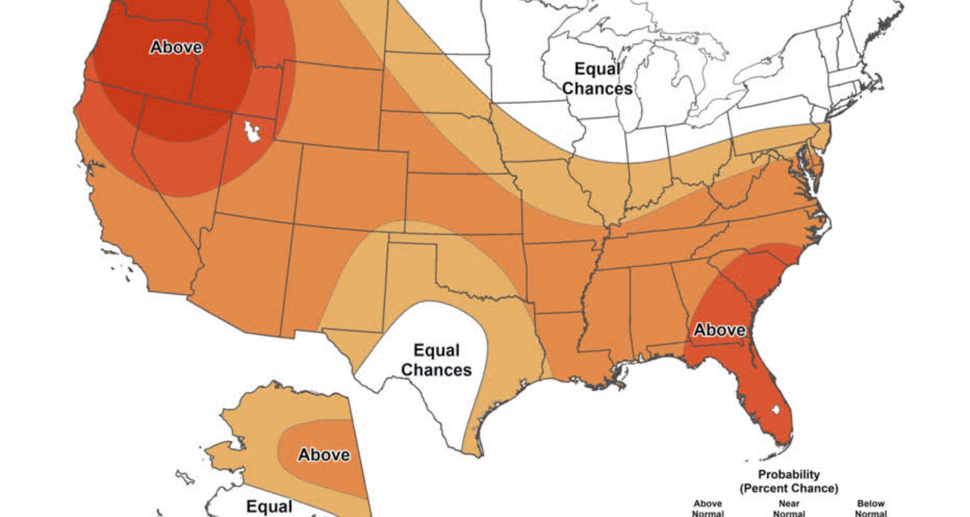
The outlook aligns with broader June forecasts that favor warmer-than-average conditions across Texas but also suggest periodic opportunities for rainfall during the first half of the month. For Houston, that could mean a stretch of summerlike heat interrupted by recurring rounds of afternoon and evening thunderstorms rather than an extended period of uninterrupted sunshine.