
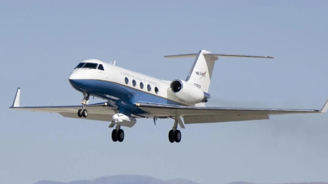
NASA is sending five planes over the area in parallel patterns all in the name of science. You can track them in real-time.
HOUSTON — If you spot a low-flying plane banking back and forth over the Houston area in the coming days, don’t be alarmed — it’s science at work.
Beginning Wednesday, June 3, a fleet of five research aircraft will operate out of Ellington Airport on a mission that will have them tracing precise parallel patterns across the skies above the city and the nearby Gulf coastline through June 13.

This story continues below.
The flights are part of NASA’s Student Airborne Research Program, known as SARP. It’s an eight-week summer internship that gives undergraduate students direct access to flying science laboratories and real-world field research experience.
“The instruments flown could help researchers map the movement of the gases and particles that make up Earth’s atmosphere, changes to the lowest part of the atmosphere near the coastline, and the natural processes affecting the land and water in that area,” NASA said in a release.
While most of the aircraft will operate at higher altitudes, one plane will be closer to the ground. A WP-3D Orion, which is owned and operated by the National Oceanic and Atmospheric Administration and is best known as a hurricane hunter, will conduct maneuvers as low as 1,000 feet up.
The NASA-operated aircraft carry an array of remote sensing technology, including two lidars, a synthetic-aperture radar, an imaging spectrometer, and two spectrometers.
The flights can be tracked in real time through the NASA Airborne Science Program Tracker online.
You can learn more about the Airborne Science Program here.
Got a news tip or story idea? Email us at newstips@khou.com or call 713-521-4310 and include your name and the best way to reach you.