
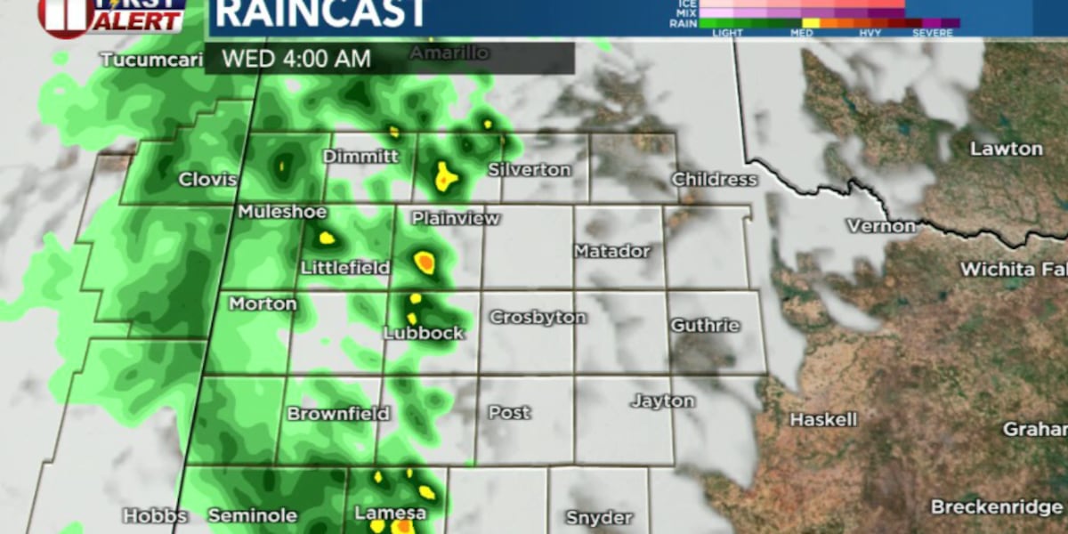
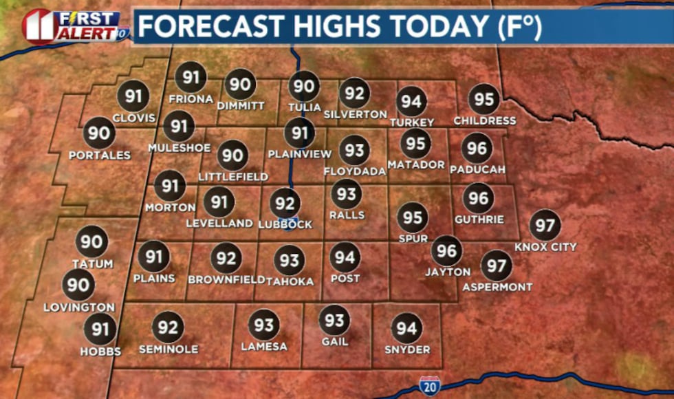
LUBBOCK, Texas (KCBD) – Warm temperatures will dominate Tuesday with a slight chance of isolated afternoon storms, much like Monday’s weather pattern. Highs will be in the 90s for most of the region.
 KCBD(KCBD)
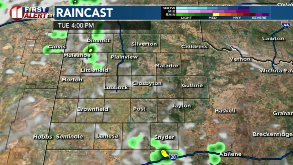
Daytime storm chances low
Storm coverage during the afternoon hours is expected to remain relatively low. We are anticipating an outflow boundary moving westward from early morning storms currently over northern Oklahoma, but significant development is not anticipated until later in the day.
 KCBD(KCBD)
Evening complex arrives after 9 P.M.
The main threat arrives this evening as a large thunderstorm complex from eastern New Mexico moves into the area, likely after 9 p.m. There is considerable uncertainty regarding how long storms will persist into the overnight hours.
 KCBD(KCBD)
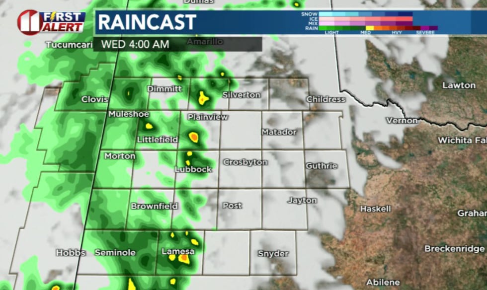
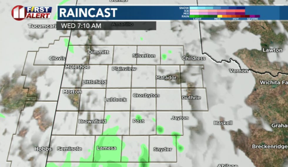
Clusters of storms are most likely to continue through Wednesday morning, primarily west of Interstate 27, before weakening as they move eastward.
 KCBD(KCBD)
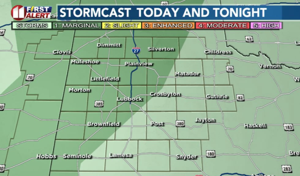
Severe weather potential remains low
While the overall severe weather threat is low, a slim chance exists for isolated instances of damaging wind gusts up to 70 mph and hail up to quarter size. Locally heavy rain is also possible, potentially leading to localized flash flooding.
 KCBD(KCBD)
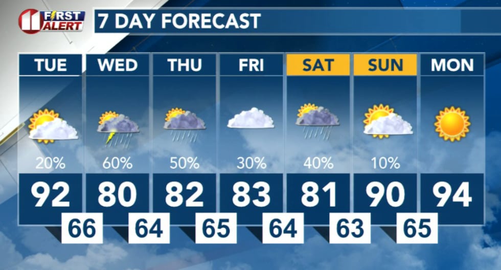
Cooler, wetter pattern ahead
Temperatures will cool significantly through the remainder of the week and into the weekend, with daily thunderstorm chances continuing.
 KCBD(KCBD)
Copyright 2026 KCBD. All rights reserved.