
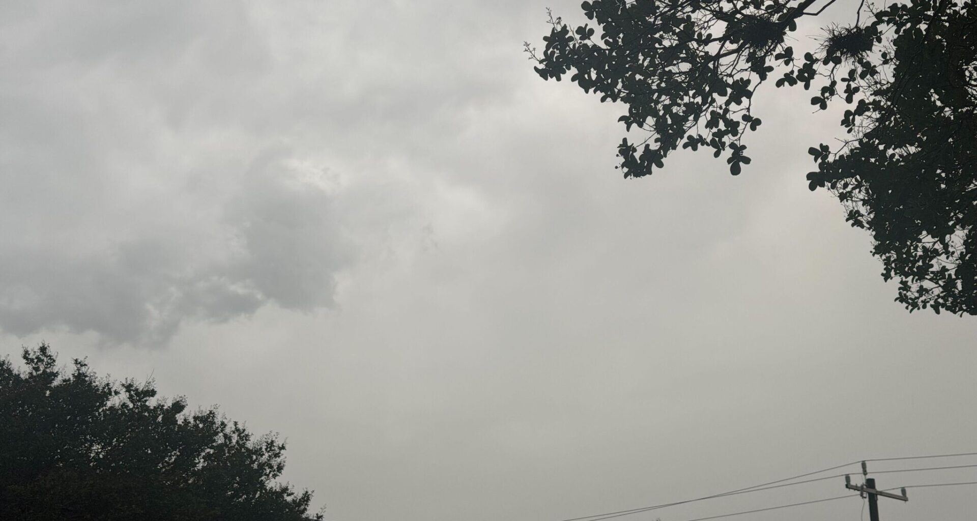
The National Weather Service (NWS) is monitoring multiple storm systems moving toward parts of Texas. Areas including the Dallas-Fort Worth (DFW) metroplex and San Antonio could be affected on Friday, June 5.
Forecasters say the northern and central parts of the state will see scattered showers and storms through the afternoon. Waco, Killeen, and some surrounding towns could see gray clouds roll in during daylight hours. Lightning, locally heavy rain, and gusty, erratic winds are the main hazards.
There’s a 40% chance of rain until after sunset, when it increases to 50%, according to the NWS’s Fort Worth/Dallas office. By nighttime, the threat favors counties near and west of I-35, including Sherman and Graham.
If folks have outdoor plans, meteorologists urge residents to go indoors and wait at least 30 minutes after hearing thunder. Strong winds could be especially dangerous for boaters on the area’s lakes, the agency writes in a post on X.com. Overall rainfall amounts could range from a tenth to a quarter of an inch.
The gloomy conditions are expected to last through the weekend, peaking on Saturday, June 6, according to the NWS. Residents should stay alert for flash flooding on the roads through Sunday, June 7. Other hazards to watch for include frequent lightning and small hail, the agency wrote.
On the bright side, more “summer-like” weather is expected next week. Highs will range from the upper 70s to the 90s each day, with little to no rain in the seven-day forecast.
The San Antonio area, including Alamo Heights and Castle Hills, is under a flash flood warning until 8:15 a.m. Friday, according to the NWS. There is a Level 2 out of 4 risk for excessive rain.
Looking ahead, residents face a Level 1 likelihood of excessive rainfall on Saturday, which could bring 1 to 2 inches of rain and minor flooding before the skies clear on Sunday, according to meteorologists.