
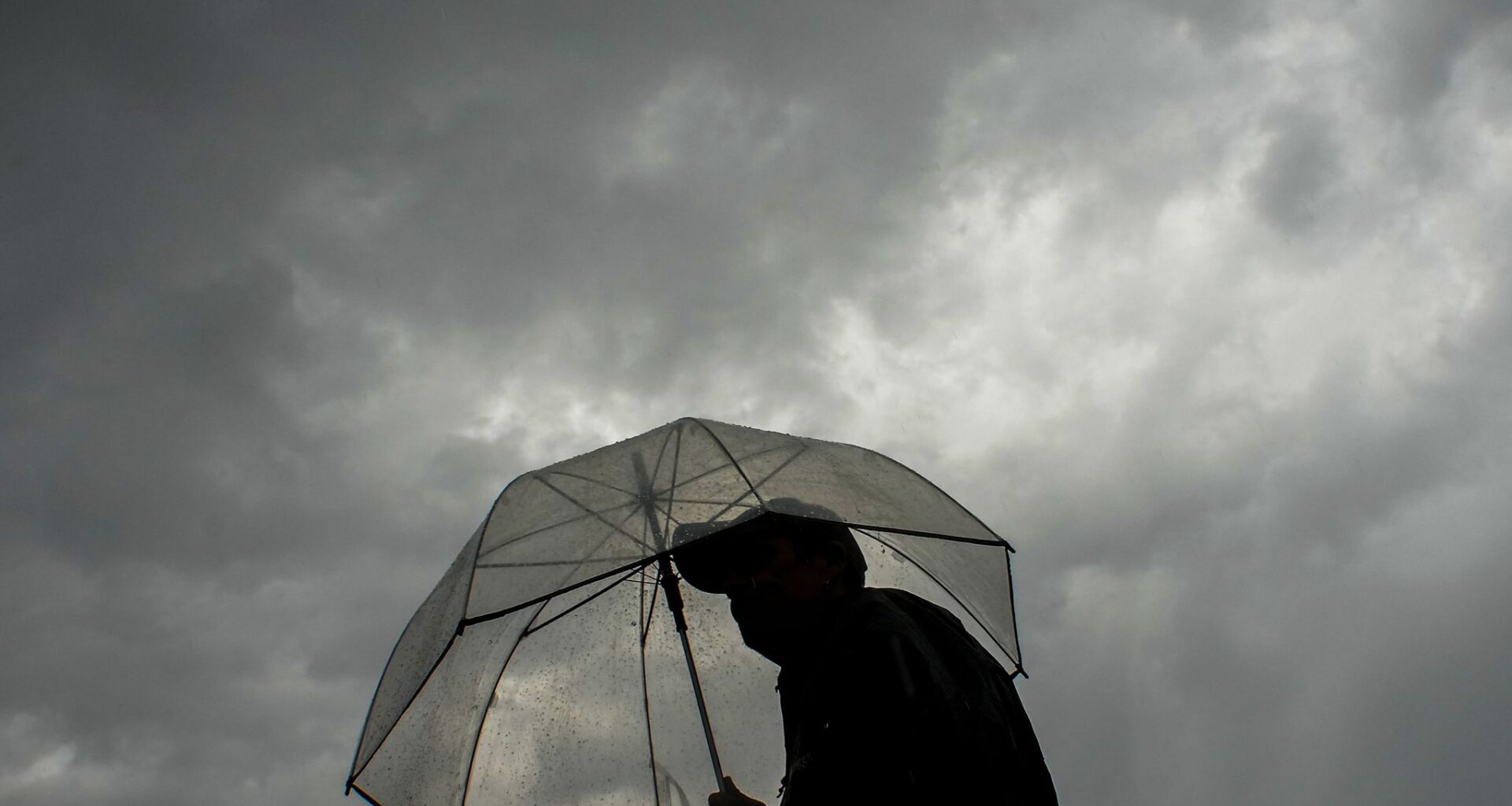
Dallas-Fort Worth is in for a stormy start to the weekend, with showers and thunderstorms likely Saturday morning and additional storms possible through the day.
The best rain chances arrive before 10 a.m. Saturday, when showers and possibly a thunderstorm are likely. Storm chances continue after 10 a.m., though coverage may become more scattered during the afternoon, according to the National Weather Service’s Fort Worth office.
Saturday’s high will be near 86. Winds will be light, with calm conditions early, before a south wind develops around 5 mph in the afternoon.
The chance of rain is 60%. New rainfall amounts between a tenth and a quarter of an inch are possible, though higher totals could fall in thunderstorms.
Another round of showers and storms is possible Saturday night, with rain becoming likely again after 4 a.m. The low will be around 71, with a south wind around 5 mph. The chance of rain Saturday night is 70%.
Widespread severe weather is not expected, but stronger storms could produce gusty winds, small hail, frequent lightning and brief heavy rain.
Storm chances should taper Sunday, with hotter and drier weather expected early next week as highs return to the mid-90s.
SUNDAY: Partly to mostly cloudy, warm with a 40% chance of showers and thunderstorms. Low: 72. High: 89. Wind: S 10-20 mph.
MONDAY: Partly cloudy, very warm and humid. Low: 75. High: 93. Wind: S 10-20 mph.
TUESDAY: Partly cloudy, very warm and humid. Low: 76. High: 94. Wind: S 10-15 mph.
WEDNESDAY: Sun, clouds, hot and humid. Low: 77. High: 95. Wind: S 10-15 mph.
THURSDAY: Sun, clouds, hot and humid. Low: 77. High: 96. Wind: S 10-15 mph.