
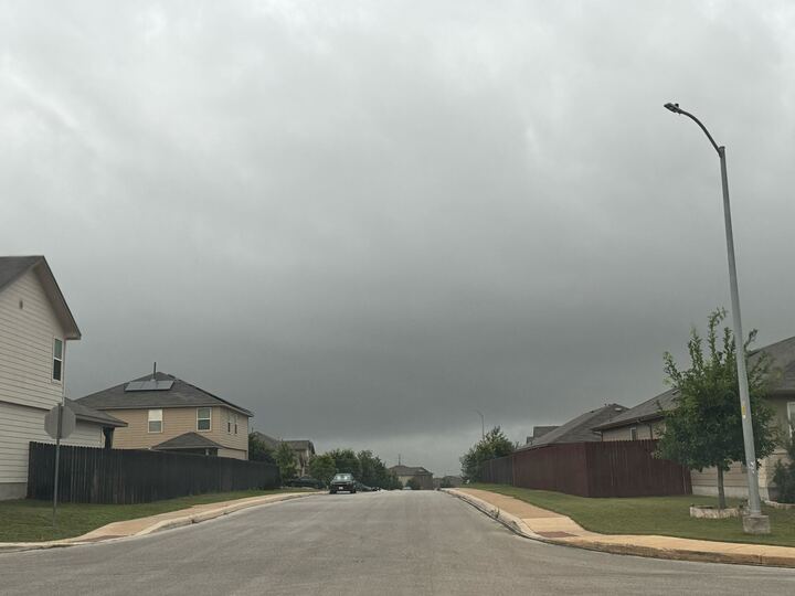
Storms could develop in the San Antonio area on Tuesday, June 9, according to the National Weather Service. The rain chances could bring slightly cooler conditions to parts of the region as temperatures continue to rise ahead of summer.
Throughout the morning hours, it will be mostly sunny with a high near 92 degrees, per the NWS Austin-San Antonio office. However, roads could be wet during the evening work commute.
Meteorologists say there is a 20% chance of rain after 1 p.m. Wind gusts could reach up to 10 mph, offering some relief from the warmer afternoon temperatures. Clouds are expected to increase after sunset.
It should still be a mild night, with temperatures expected to dip to around 76 degrees. Winds could reach up to 20 mph, according to forecasters.
Folks should enjoy these numbers while they can. The NWS says South-Central Texas will see early summer heat build through Monday, June 15.
“Highs will climb into the mid-to-upper 90s by the weekend, and Del Rio reaching the triple digits,” the agency wrote in a post on X. “It will be mostly dry. Practice heat safety!”
Rain chances return to the Alamo City before the weekend, so outdoor plans may be worth monitoring. The highest risk, at 30%, is on Sunday, June 14. During heavier showers, some roads could experience ponding or minor flooding.
Last week, the NWS urged San Antonio-area residents to become familiar with low-water crossings along their routes in case they needed to detour. Several counties were included in a flood warning as forecasters predicted up to eight inches of rain in some neighborhoods.