
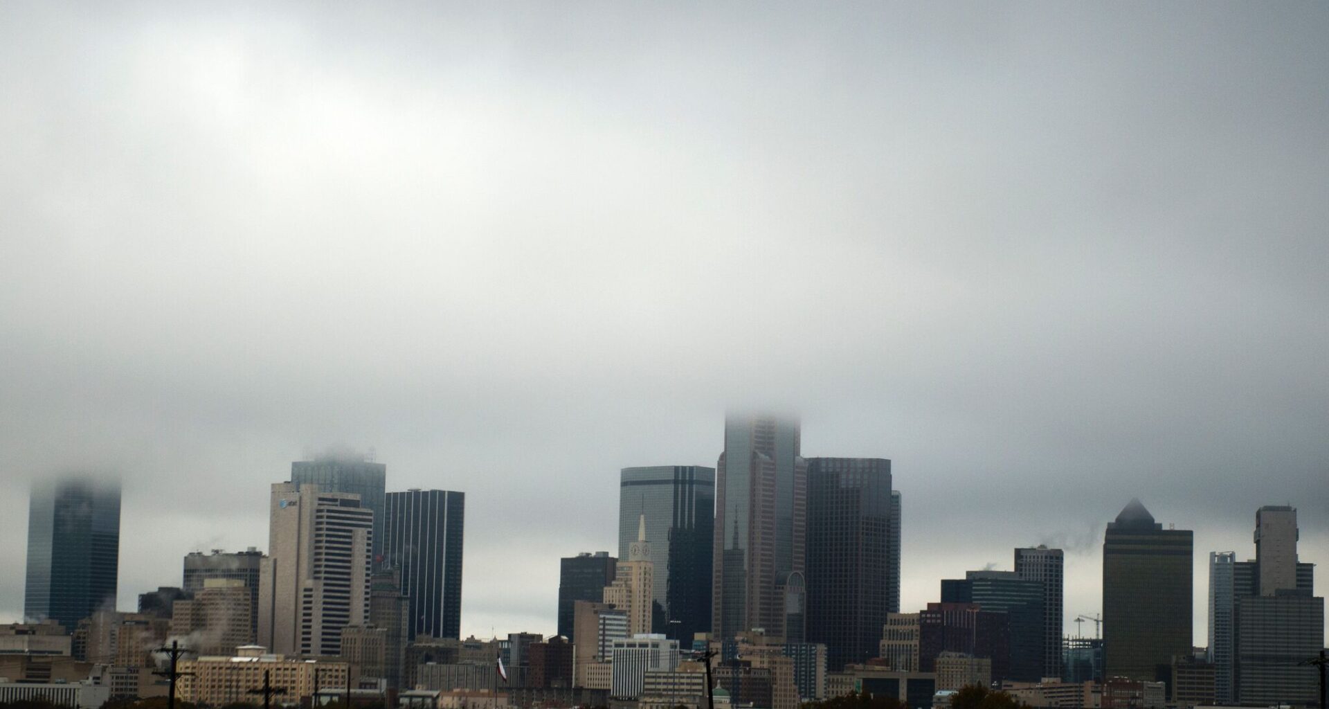
North Texas could wake up to thunderstorms as a cold front moves in by sunrise, followed by another cold front this weekend.
“A surface cold front (will push) southward toward north Texas overnight before stalling out near the Red River,” forecasters with the National Weather Service Dallas-Fort Worth Office wrote in their outlook.
Scattered thunderstorms could arrive in North Texas late on Thursday, lasting through Friday afternoon. The greatest storm coverage is expected north of I-20 after midnight through midday Friday.
“While the overall severe weather threat remains low, a few storms may produce gusty winds and frequent lightning,” forecasters wrote. “Most locations south of I-20 are expected to remain dry and warm, with afternoon temperatures reaching the low to mid 90s.”
Areas north of US-380 could see locally heavy rainfall.
“Even after storms dissipate, they might leave behind some outflow boundaries for scattered afternoon storms to develop from the Metroplex northward,” forecasters wrote. “Overall severe chances look low for this activity, but there is a low (<15%) chance that storms could produce locally gusty winds.”
Another cold front could approach North Texas by Sunday morning, increasing chances for rain and thunderstorms. Storms could develop along the Red River in the morning, pushing southward throughout the day on Sunday. A second round of stormy weather could develop by the afternoon
A few strong to severe thunderstorms are possible Sunday and Monday, with the main hazards being damaging wind, frequent lightning and heavy rain.
“Severe chances look low at this time but localized flooding could become an issue with any slow-moving storms or areas that see multiple rounds of rain,” according to the long-term outlook.