
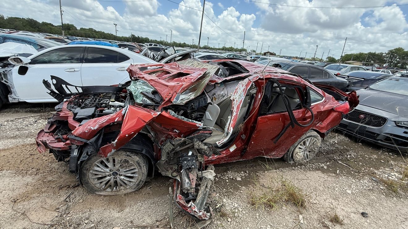
San Antonio, Texas — One year after flash flooding swept through the Perrin Beitel and Loop 410 area, killing 11 people and trapping motorists in rapidly rising water, families of the victims say they are still searching for answers and wondering whether enough has changed to prevent another tragedy.
Among them is Brittany Guerrero, whose father, Rudy Garza, was one of the victims.
“Just replaying throughout. I mean, it’s a replay in our head every single day,” Guerrero said.
The June 2025 flooding turned deadly when intense rainfall overwhelmed roads and drainage systems, sweeping vehicles into floodwaters near the Perrin Beitel Creek corridor. Two other people died in flooding elsewhere across San Antonio during the same storm.
In the months since, Guerrero said she has repeatedly returned to the area where her father died, hoping to see evidence that improvements had been made.
“I was there yesterday,” she said. “The road across the street is still closed. It had rained a little and there’s big puddling. There’s no signs, no nothing. It looks like it just happened.”
Last year, FOX San Antonio obtained never-before-seen video showing vehicles being carried away by rushing floodwaters. Guerrero said watching the footage helped her understand what her father experienced during his final moments.
“That was the hardest video to see,” she said. “I know when he was talking to my mom, that’s what he was talking about, the ocean. It was like an ocean coming at him.”
As families mark the anniversary, new draft floodplain maps are also raising questions.
A comparison of current FEMA flood maps and newly proposed draft maps shows a much larger flood-risk area around Perrin Beitel Creek, Loop 410 and the Interstate 35 interchange than what was reflected before the deadly June 2025 flood.
The newly proposed maps expand floodplain boundaries into parts of the Loop 410 interchange, frontage roads and nearby commercial areas where 11 people were swept away and killed after becoming trapped by rapidly rising floodwaters in the Perrin Beitel corridor.
The draft maps show flood-risk areas extending beyond the creek itself and into portions of the interchange and surrounding roadways where many of the rescues and recoveries took place.
The maps do not answer what caused the flooding to become so deadly. They also do not determine whether roadway construction, drainage issues or other factors played a role.
What they do show is that more of the area is now considered vulnerable to flooding than was reflected on the maps in place before the tragedy.
The map changes come as FOX San Antonio continues to seek records from the Texas Department of Transportation related to the massive I-35 corridor project that includes the area.
More than six months ago, FOX San Antonio requested drainage studies, flood analyses and engineering documents to determine what flood risks were identified and how construction may have affected water flow during major rain events.
TxDOT has said the electronic files are extensive and are still being processed for release.
Guerrero remains skeptical.
“I feel like the download is just a delay,” she said. “I don’t think it was draining properly. There’s no way. And there were things in that creek that shouldn’t have been there. I would love to see that report because I don’t feel like it was proper.”
While officials have expanded flood alerts and warning notifications since the disaster, Guerrero said additional safeguards are needed.
“We need meters. We need signs. Something,” she said. “Because it happens fast.”
For Guerrero, the anniversary is not only about remembering her father. It is also a reminder of how quickly lives can change.
“I love the rain. I know we need it, but it’s such a trigger,” she said. “My kids know that’s what took grandpa. And it’s hard.”
One year later, the floodwaters are gone. For the families left behind, the search for answers continues.
Families say they want to know whether this tragedy could have been prevented and whether enough has been done to keep it from happening again.
FOX San Antonio will continue seeking records from TxDOT that families hope will help explain what happened in the Perrin Beitel corridor and whether more could be done to reduce flood risks in the future.
To search for your home, business or any other address to see it on the new proposed flood map you can click here.