
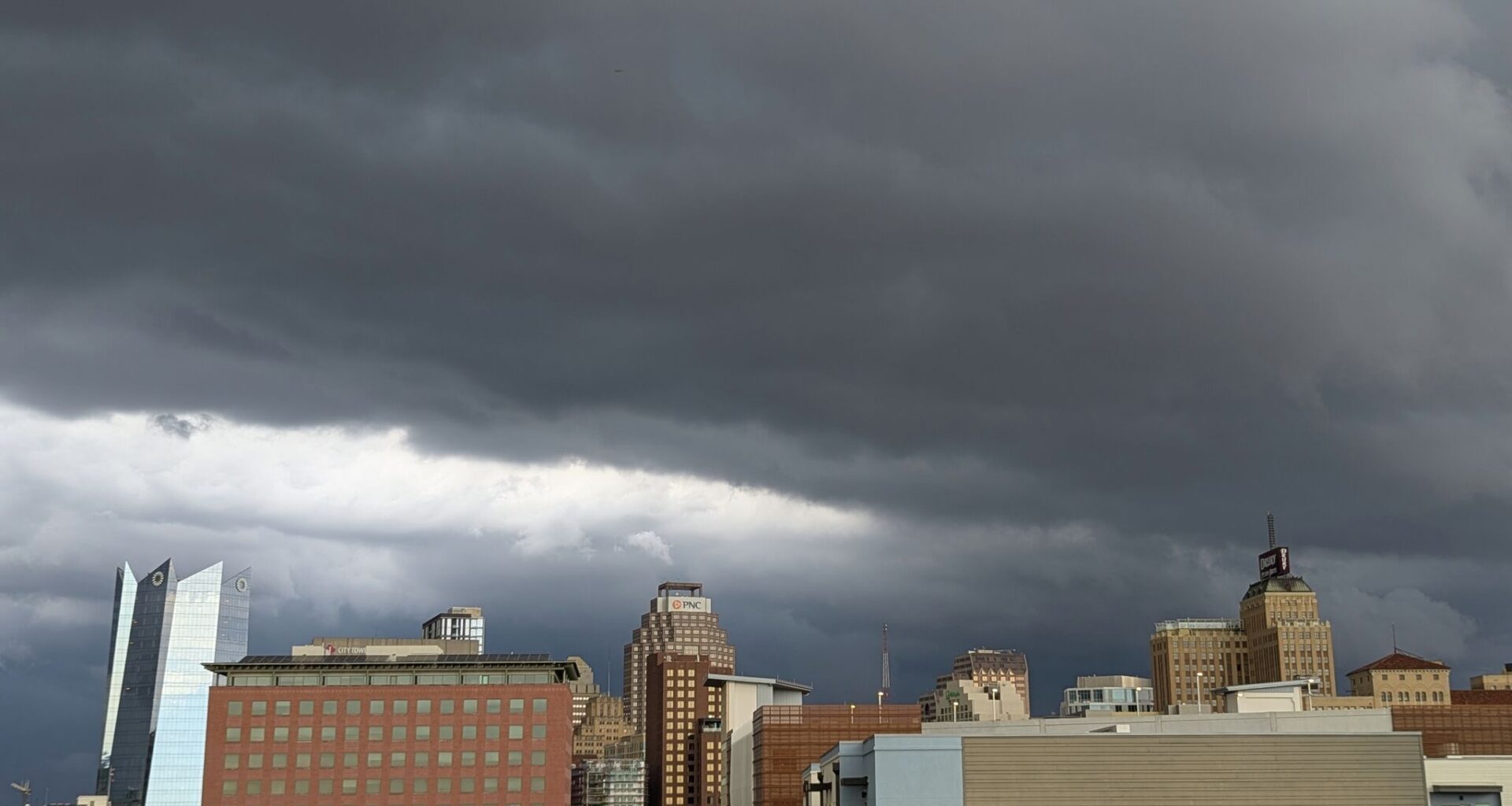
Multiple rounds of heavy rain will be possible across San Antonio from Sunday through Tuesday. Some storms could produce flooding.
San Antonio Express-News/Anthony Franze
Scattered, slow-moving thunderstorms will be possible across South and Central Texas over the next couple of days. Deep tropical moisture moving north from the Gulf of Mexico is likely to interact with a weak summertime cold front moving south into the area.
Storms are expected to stay scattered in nature, so not everyone is going to experience substantial rainfall. That said, many storms will be capable of intense, tropical downpours with rainfall rates of up to 2-3 inches per hour. Flash flooding will be a concern, especially from Monday and into Tuesday. Here’s a breakdown of what to expect.
Sunday’s forecast
Rain chances will stay low early Sunday morning as mostly cloudy skies hover over South Texas. A few isolated showers are possible, but most areas in and around San Antonio will stay dry through noon. Temperatures will be mild, starting in the upper 70s before rising into the 80s after 10 a.m.
Article continues below this ad
By the afternoon, chances for scattered thunderstorms are expected to rise. San Antonio rain chances will be around 30% between noon and 4 p.m., rising to around a 50% chance by the late afternoon and evening.
San Antonio, along with much of South-Central Texas, has been placed under a low-end level 1 of 4 risk of excessive rainfall. That means a few areas could see flash flooding, but that flooding is not expected to be widespread.
High temperatures are expected to reach the upper 80s to near 90 degrees. Temperatures could end up lower if strong storms do move through the city during the early to late afternoon.
Article continues below this ad
Higher rain chances Monday
As a weak cold front moves closer to South Texas on Monday, coverage of showers and storms is expected to increase across the region. San Antonio will have about a 70% to 80% chance of measurable rainfall, starting Monday morning with storm chances continuing into the late afternoon and evening.
San Antonio is under a level 2 of 4 risk of flash flooding on Monday
National Weather Service
Once again, flooding will be the primary threat, as storms are still expected to be slow-moving and capable of dropping multiple inches of rain within a short period of time. The region has been upgraded to a level 2 of 4 risk of flash flooding throughout the day, as set forth by the National Weather Service.
Temperatures will also be a few degrees cooler Monday, as highs will likely top out in the mid-80s. Low temperatures will stay mild, falling into the low to mid-70s.
Article continues below this ad
Scattered showers and storms may continue into Tuesday, especially during the first half of the day. Temperatures will stay slightly below average, with highs expected to be in the mid-80s once again.
Shown are the potential rainfall totals across the region through Tuesday, according to the National Blend of Models. Isolated higher amounts are possible.
Pivotal Weather
Changing weather pattern
San Antonio is under a level 1 of 4 risk of flash flooding on Sunday.
NOAA
By the second half of the week, San Antonio rain chances are expected to decrease as temperatures increase. On Wednesday, highs are likely to rise back to near 90 degrees before topping out in the mid-90s on Thursday.
Article continues below this ad
There is some weather model discrepancy, though. Some models do show a tropical low-pressure system that may move along the Texas coast through the middle and end of the week. At this point, rain chances in San Antonio are around 20% to 30%, as the higher rain chances will stay along the coastline, from Corpus Christi to Houston and Galveston.
However, this system will need to be monitored in the coming days, as slight changes in the storm’s track could alter San Antonio’s forecast drastically. Stay with expressnews.com/weather for daily updates.